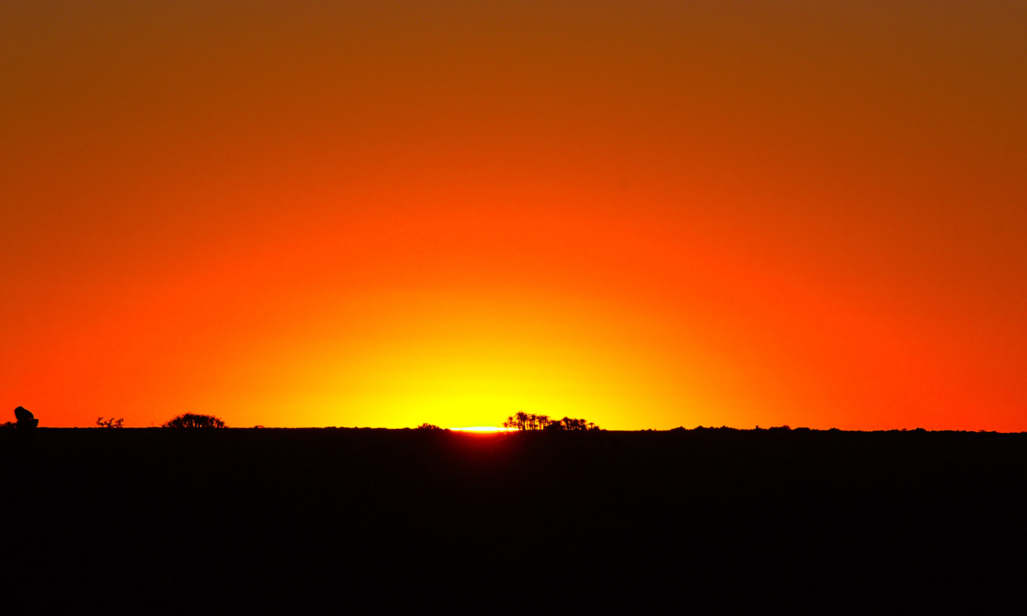
Again I slept quite badly, because constantly bimmel of any animals was in the night. In addition, it was extremely warm in the room and no breeze moved. After the rather meager breakfast it went again up a slope and this time steeper than the days before. I also had to hurry this time, because thunderstorms were predicted. Unfortunately, it went from a certain height again completely through fog, whereby the visibility was severely limited and no visibility was there. On the other side of the mountain was again the same game as the day before. From a certain height, the sun came out again, but this time with some clouds in the sky. The thunderstorm stayed away, however, and I could finally spend a little south of Carcoforo in a hotel outside on the terrace and relax comfortably with tea.
Hiking the Grande Traversata delle Alpi (GTA) in the Italian Alps – Part 2 – Rimella – Alpe Baranca
Early in the morning we continued on the GTA in the direction of Alpe Baranca. The weather was again quite excellent and hardly a cloud was visible. First it went from Rimella the road down the mountain and then through a forest to the river that had to be crossed. Then it went an old path up the mountain on the opposite side again. A lonely village on the mountainside was actually still inhabited, although one had to wonder how people got there. We continued up towards the settlement on the meadow that could be seen from Rimella and before that even further up. Again we went through a lonely village past a refugio. The old village was only accessible via a path and a material railroad but the refugio actually had air conditioning. Then it went over the ridge on the other side down the mountain again. At a lonely church I stopped for lunch, where there was again noodle soup and the sandwiches from Rimella from the morning. Then it went through the blazing midday sun still down to the river and then laboriously up the road to the last village of the valley. The sun burned relentlessly and everything was again laborious after lunch. Even more laborious it finally became the steep track, the valley further uphill. At the beginning, the path was actually excellent and newly made and later still very well built as an old mule track. At some point I finally reached the late afternoon Alpe Baranca at about 1600m altitude where I was the only guest. I got tea and could choose a place to sleep at the top. Before I showered extensively, although the shower was very small. That could have been designed a bit better.
Hiking the Grande Traversata delle Alpi (GTA) in the Italian Alps – Part 1 – Forno – Rimella
This was the beginning of the hike on the Grande Traversata delle Alpi (GTA) from Forno to Rimella. First, the path led lonely, because I really met no one until the afternoon along a river always uphill towards Campello Monti. The entire way to Rimella led over a pass at 2100 m altitude and then again quite steeply downhill. The weather was excellent for the hike and hardly a cloud was in the sky. But that also meant very strong sunlight and quite high heat, which only became bearable again with the altitude. Shortly after Campello Monti were finally no more trees and it went quite steeply uphill to the pass. On the pass was quite a nice wide view, with the 4500m high Monte Rosa also visible on the right. After that it went downhill again through open terrain and finally again through forests and some villages to Rimella. The hike took about 10 hours and had an elevation gain of 1200m, with about 1000m also going back down.
Journey to Italy over Gotthart Pass and along Lake Maggiore to Forno in the Piedmont
The crisis had improved dramatically in Europe by mid-June, making a trip to Italy possible. This time it was to go to a long-distance hike in Piedmont to the Grande Traversata delle Alpi (GTA). The GTA is a fairly unknown long-distance trail that crosses the Italian Alps on almost forgotten and centuries-old paths. Starting from the border with Switzerland to the Mediterranean Sea. The journey takes me from Germany through Switzerland over the Gotthart Pass. I could have also gone through the Gotthart tunnel, but there was enough time and a trip over a pass is always quite worth seeing. Further it went down the main ridge of the Alps again and finally along Lake Maggiore, where there is already a Mediterranean climate and palm trees grow in the middle of the mountains to my destination Forno in the Italian Piedmont.
Hiking Around Spielberg In Germany In Spring 2021
This hike was once again in the Stromberg/Heuchelberg nature reserve in Baden-Württemberg in Germany, this time around a village called Spielberg. The route was again about 20 km long and went through vineyards, forests and meadows and smaller villages in a circle without having particularly much ascent.
Hiking Around Oberderdingen In Germany 2021
This hike took place on the edge of the Stromberg/Heuchelberg Nature Park in Baden-Wuerttemberg in Germany in the spring of 2021 around the village of Oberderdingen. The hike was first through the forests of the Stromberg, then through a quite hidden valley with vineyards, further over quite open fields and finally the last part through the forest again. Unfortunately, it was relatively cold and windy that day, but nevertheless the route was well worth seeing.
Hiking The Rimbach Steig In The Pfälzer Forest In Germany 2021
On this hike we went once again into the Palatinate Forest. The route was this time the Rimbach Steig and was again in about 20 km long. As always, the Palatinate Forest was quite hilly but this time not so high elevation gain.
Hiking Around Wuestenrot In Germany In Spring 2021
For this hike we went a little further east to a hike around Wuestenrot. We were not quite clear what would expect us. The drive there was actually not so bad, especially because we were on the road so early. The route was once again about 20 km long and was very well rated. At the beginning, the route also made a very good impression, but this changed greatly after about half. At the end, the track was just annoying. Until now, we had actually always been very lucky, but this time not at all. This was mainly due to the fact that the route is almost exclusively on asphalt and only quite a few parts are on forest trails. Quite a long time you run on roads without footpaths and you are repeatedly led directly through any villages. This is quite annoying, especially when the sun is shining and there is hardly any shade on open meadows in the middle of the road. The counter is interesting to look at, but only if you are on stuffy single-family home settlement and want to look at the dreary life. Of course, it looks like this: It was advertised with a tower that you can visit. We had not expected to visit due to the crisis. That would not have gone otherwise, because the only sometime in the week at noon has open and also costs money. Furthermore, there is a castle. The castle is private property and if you are lucky and allowed, then you can look into the courtyard. As I said the counter looks quite special. But there are actually only houses to see. We are but to see nature and tranquility. Here, unfortunately, it was exactly the opposite, especially when the motorcyclists came later.