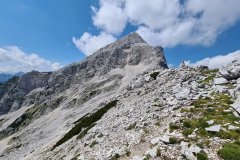
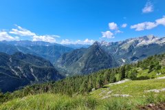
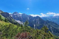
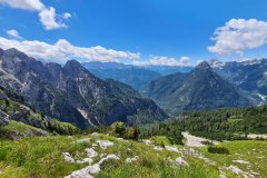
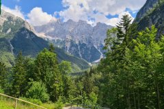
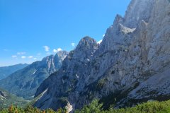
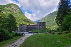
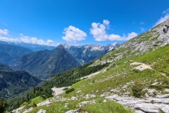
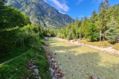
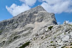
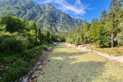
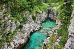
Nestled in the heart of Europe, Slovenia is a small country with a big heart and an even bigger reputation for natural beauty. From its towering mountains to its crystal-clear lakes, Slovenia is a country that truly has it all.
„2020 Slovenia“ weiterlesenHiking Around Koblenz In November In Germany
On this hike we had to drive a little further to Koblenz in Germany. The tour led for a large part through the city forest of Koblenz, but started in a village. The distance was 21 km with a total ascent of 860 m. The route almost always led through forest to the Rhine, then back along the city limits of Koblenz. For the most part we were able to walk completely alone. Especially the first two and the last two hours were almost completely on our own. However, at the end there was a steep ascent without a recognizable path, which was a bit strenuous at the end of the tour. Furthermore we had to overcome some hurdles in the form of felled trees on the way, which seemed impenetrable at first. Fortunately we managed to get through them.
GPX track for download: http://www.summer-ends.de/hiking-tracks/hiking-track-koblenz-germany/
Hiking Near Hirsau And Bad Liebenzell In The Black Forest In Germany
This hike took place again in the Black Forest in Germany near Bad Liebenzell in November 2020. The distance was about 22 km with a total ascent of 780 m.
GPS Track for download: http://www.summer-ends.de/hiking-tracks/hiking-track-hirsau-black-forest-germany/
Hiking Along The River Enz Loops Near Muelhausen In Germany
This short hike was an approximately 10km long track around the village Muehlhausen in Baden Wuerttemberg in Germany. The hike was along the river Enz, along old and abandoned vineyards and finally back to the village and along still cultivated vineyards at the end of autumn 2020.
Hiking Near Neubulach And Bad Liebenzell In The Black Forest In Germany
For this hike we went this time to the Black Forest to Neubulach near Bad Liebenzell. Especially in the Black Forest the temperatures were already quite low, but the sun came out and the landscape was not so depressive at the beginning of winter 2020. This time the tour was again about 20 km long, with about 700 m altitude ascent and 700 m descent as a round trip. Basically this tour was very scenic, but the car traffic was very exhausting and needed getting used to because of the high noise level. We did the tour on a Saturday. In the summer on a Sunday it should probably be even more exhausting with all the loud motorcyclists. I would like it to be as quiet as possible and I wouldn’t recommend this again for the summer because of the high noise level.
GPS GPX Track – Hiking Around Boellenborn Germany
Maximale Höhe: 551 m
Minimale Höhe: 187 m
Gesamtanstieg: 1306 m
Gesamtabstieg: -1227 m
Gesamtzeit: 06:49:41
Hiking GPX Track Busenberg – Germany
Maximale Höhe: 445 m
Minimale Höhe: 209 m
Gesamtanstieg: 957 m
Gesamtabstieg: -932 m
Gesamtzeit: 06:44:45
Hiking GPX Track Oberschlettenbach – Germany
Maximale Höhe: 437 m
Minimale Höhe: 204 m
Gesamtanstieg: 903 m
Gesamtabstieg: -953 m
Gesamtzeit: 05:58:44

