This time the hike was a 20 km round trip around the Ravensburg near Sulzfeld in Germany in the year 2021. Still in crisis and in spring it was a welcome change to hike in the awakening nature. The route was scenic typical of the area and except for the length not demanding. It went quite often on paved roads and often times on asphalt, but was quite interesting. Unfortunately, you can not visit the castle, because it is privately owned. However, there are quite interesting views on the tour.
Hiking Around Nordheim In Germany In April 2021
Mid-April 2021 and still crisis time with cases rising again. So there is nothing left to do but continue to run around in the counter. However, there are also quite appealing places and routes to look at. On this hike over a distance of about 20 km, it went this time near Heilbronn in a wine-growing area. The hike was as almost always on a Saturday, because on this day you always have quite few people on the routes. The total ascent was this time however only approx. 250 m which made this distance this time substantially easier. It was especially interesting at the end because we had not expected such a strange village.
Hiking Around Busenberg In Germany On Easter Saturday 2021
After our start into the 2021 hiking season the weekend before, this time we went on a tour around the village of Busenberg in the Palatinate Forest. We had already made this tour in December 2020, although it was then already quite wintry but no snow. This time, however, it was only slightly warmer, but by the sun already much friendlier to look at and especially by the awakening nature a strong change to December. The hike took place on Easter Saturday. Actually, I had expected quite a few hikers, but there were actually in the morning no one who met us and in the afternoon only quite a few. Overall, this tour is highly recommended, but it should bring a sufficient condition. Because it is a circular route, you can actually always go back on a direct path, but by the constant up and down, this tour is not exactly easy. After all, almost 1000m ascent to cope and the same down again and that on a distance of 20 km.
Hiking Through The Vineyards And Woods Around Haefnerhaslach In The Heuchelberg Region In Germany
For the second time in 2021, there was slightly more sunshine and slightly higher temperatures. Meanwhile, the winter is almost over and it was time on a first major hike for the year. This time it should go to the nature park Heuchelberg. The route was 21 km long and lasted for us from about 0930 to 1530 with about 500m elevation gain. We started first in Häfnerhaslach and followed a path through a forest, then along a vineyard in a quite hidden valley, further through a hamlet and again along a much larger vineyard. Then we went back through the forest on the mountain, through the valley of Häfnerhaslach and also there through the woods back again. Overall, the route is rather exhausting from the length. Overall, there are no hiking difficulties except for the length. We had not seen any places to stop anywhere. Now this was probably not only due to the crisis situation, but there was probably really nowhere to eat and drink. GPS GPX Track for download: http://www.summer-ends.de/hiking-tracks/gps-gpx-track-hiking-haefnerhaslach/
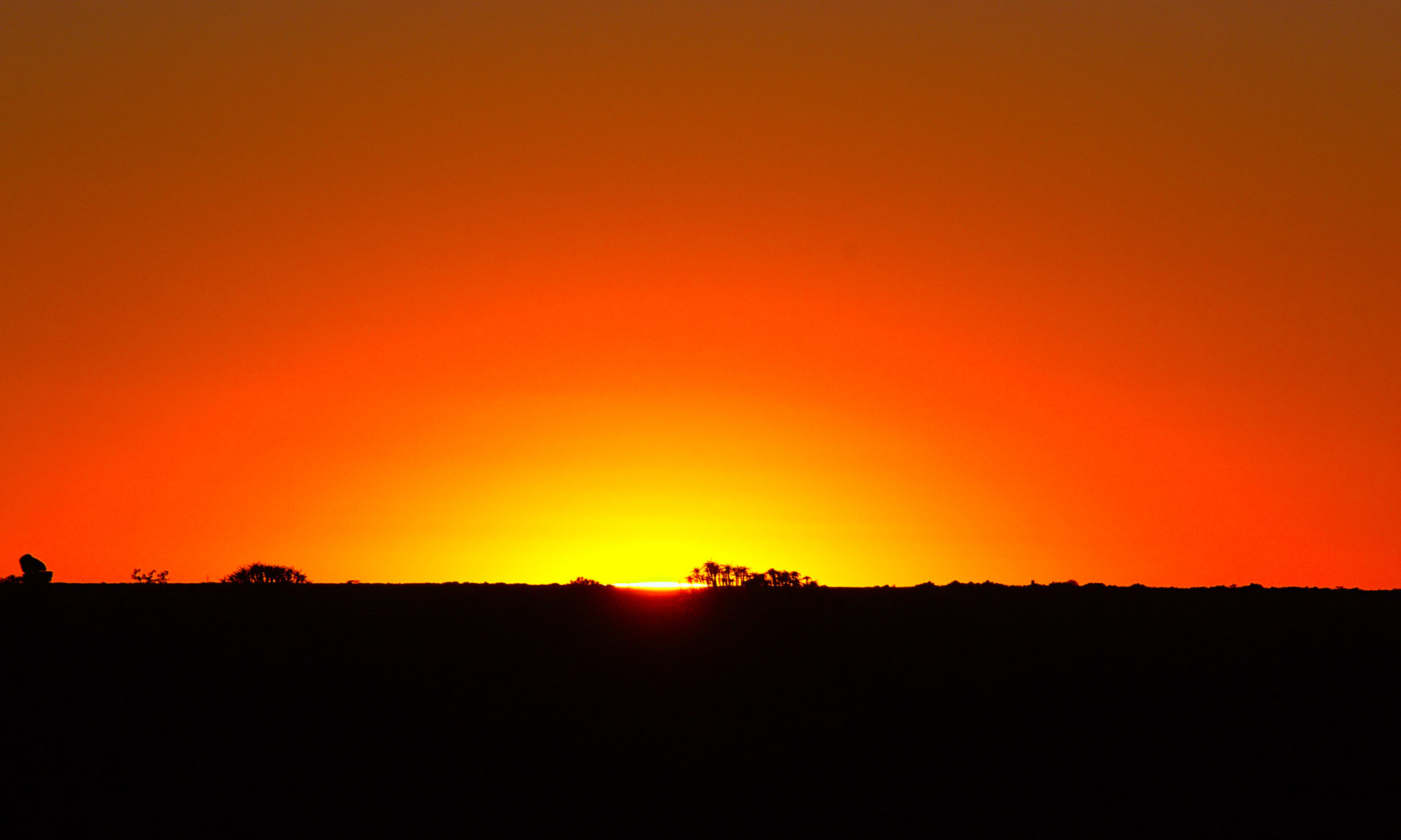
Short Visit To Castle Ruin Blankenhorn In The Second Winter Of The Crisis
One of the first excursions after the winter break in the crisis in Germany was to the Blankenhorn castle ruins.
Hiking Around The Village of Boellenborn In The Palatinate Forest In Winter In Germany 2020
Our last hike in 2020 was again in the Palatinate Forest around the village of Böllenborn. By now we had reached some fitness and the route was thus 25 km long and led over numerous hills through forests and meadows over lonely paths through an incipient winter landscape. The elevation gain was supposedly 1200 m. However, I can not really believe this value. After this hike, winter began to set in the area and hiking was still possible, but we switched to cross-country skis. Fortunately, despite the crisis, we found a lonely track in the Black Forest where we could ski for a few days in a very beautiful area. After that we got our house handed over and were busy with renovation and moving work for a few weeks. Here you can download the GPS track of the hike: http://www.summer-ends.de/hiking-tracks/gps-gpx-track-hiking-around-boellenborn-germany/
Hiking Around The Village of Busenberg In The Palatinate Forest Of Germany In December 2020
Once again we went for a hike in the Palatinate Forest, close to the French border. This time we had to start again due to the short time with daylight quite early in the morning to be able to carry out our quite extensive hike. The hike was mostly over meadows and forests around the village of Busenberg in the Palatinate Forest in Germany and took place in December 2020. Our GPS said for the total distance only about 20 km which seemed quite strange to us, it should have been more. However, there were 5 steep hills to climb and the elevation gain was almost 1000m according to the GPS. Overall, this route was once again highly recommended. Despite the season, there were still some hikers on the road, but nowhere was crowded, with the exception of the castle Drachenfels. There were already some excursionists on the road, but much less than in the summer. Here is a GPS track for download: http://www.summer-ends.de/hiking-tracks/hiking-gpx-track-busenberg-germany/
Hiking Around Oberschlettenbach In the German Palatinate Forest 2020
On this hike we went once again to the Palatinate Forest in Rhineland-Palatinate. The distance was in 20 km with an altitude gain of 900m. In total, we needed in December 2020 for this the whole day from early 0900 to sunset at about 1600. Like all routes so far in the Palatinate Forest, this route is also highly recommended. However, we had the special circumstance with much fog. For me personally, that was not dramatic at all, but just something else. This had led to an extremely different mood, precisely because there was no noise anywhere. You can download a GPS track here: http://www.summer-ends.de/hiking-tracks/hiking-gpx-track-oberschlettenbach-germany/