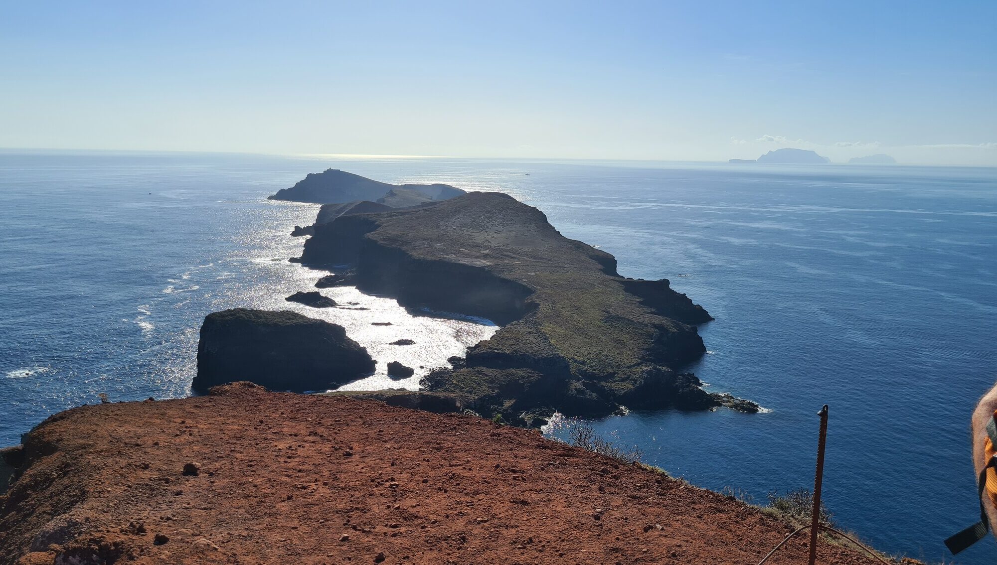
2023 Madeira – Day 2

Miradouro da Ponta do Furado: Where Madeira Ends and the Atlantic Begins

At the far eastern edge of Madeira Island lies a place that feels wild, wind-swept, and elemental — a place where land thins to a blade of rock and the Atlantic Ocean crashes on either side. This is Miradouro da Ponta do Furado, the final viewpoint along the Vereda da Ponta de São Lourenço trail — one of Madeira’s most iconic and scenic walks.

Here, the island’s lush mountains give way to volcanic cliffs, painted in bands of red, orange, and ochre, as if the Earth itself is laid bare. The views are humbling. The wind is constant. And the sense of standing on the edge of something ancient and vast is unforgettable.


The Edge of the Island, the Start of a Journey

Ponta do Furado is part of the São Lourenço Peninsula, a long, narrow finger of land that juts out into the sea on Madeira’s easternmost point. Unlike the rest of the island, which is covered in laurel forests and rich vegetation, São Lourenço is semi-arid — a place of stark cliffs, windswept grasses, and exposed geological strata.

Its name — “Ponta do Furado” — translates loosely to “Pierced Point” or “Worn Point,” referencing the eroded rock formations and sea-carved arches that shape this end of the peninsula.

While the land here seems remote and raw, it has long held strategic and ecological significance. Ancient lookout points once guarded against pirate ships, and today, conservation efforts help protect the endemic plants and seabird nesting sites that call these cliffs home.


Hiking the Vereda da Ponta de São Lourenço

The main way to reach the Miradouro da Ponta do Furado is via the Vereda da Ponta de São Lourenço, a 7.5-kilometre return hike that begins at Baía d’Abra (the end of the ER109 road). The trail winds across ridgelines, past volcanic domes, steep slopes, and surreal coastal vistas, eventually arriving at the Casa do Sardinha Nature Station, and finally, the lookout itself.

The viewpoint at Ponta do Furado offers a dramatic finale — a 270° sweep across the ocean, the Ilhéu do Farol (Lighthouse Islet) just ahead, and to the west, the curves of Madeira retreating into the distance.

The walk is of moderate difficulty — not technically challenging but exposed to sun and wind, with a few ascents and descents. Good footwear, water, and sun protection are essential.


Geological Drama in Every Direction

This part of Madeira is a living textbook of volcanic geology. The exposed cliffs and slopes reveal layers of basalt, tuff, and volcanic ash — the result of millions of years of eruptions, uplift, and erosion.

What makes Ponta de São Lourenço and Miradouro da Ponta do Furado so visually striking is the lack of vegetation, which allows the island’s colourful rock formations to shine. The reds and oranges come from oxidised iron, while grey-green shades hint at ancient lava flows and ash beds.

To the north, the cliffs drop steeply into the Atlantic. To the south, the sea is often calmer, offering shimmering views down to tide pools and sea caves. Offshore, small islets like Ilhéu Cevada and Ilhéu do Farol add to the sense of isolation and grandeur.


Wildlife and Ecology

Despite its barren appearance, this landscape supports a surprising range of life.

The cliffs are home to rare seabirds such as the Madeiran storm petrel and Bulwer’s petrel, and the surrounding waters host monk seals and migratory whales. Reptiles, coastal flowers, and small shrubs have adapted to the wind, salt, and sunshine.

Conservation efforts are in place to preserve this fragile habitat, and visitors are asked to stay on marked paths and respect protected zones.


Nearby Attractions

While the Miradouro is a highlight in itself, the eastern tip of Madeira offers much more to explore:

  • Caniçal: A former fishing village just west of the trailhead, home to the Museu da Baleia (Whale Museum) and a working harbour.
  • Prainha Beach: One of Madeira’s few natural sandy beaches, hidden below cliffs and popular with locals.
  • Machico: The historic site of Madeira’s first settlement, with a pretty bay and local restaurants offering seafood and poncha.

For photographers and nature lovers, the early morning or golden hour light transforms the entire São Lourenço peninsula into a living canvas.


When to Visit

The Vereda da Ponta de São Lourenço and Miradouro da Ponta do Furado can be visited year-round, though the best times are spring (March–May) and autumn (September–October) when the temperatures are mild and skies are clear.

Summer offers fantastic views but little shade, so early morning hikes are recommended. In winter, expect stronger winds and occasional cloud cover, though the landscape remains spectacular and uncrowded.


How to Get There

The starting point for the trail to Miradouro da Ponta do Furado is Baía d’Abra, near Caniçal. It’s about a 30-minute drive from Funchal, with car parks available at the trailhead. There are also limited bus options to Caniçal, but driving is the most convenient way to reach the peninsula.


Conclusion: At the Edge of Earth, Peace and Power Collide

Standing at Miradouro da Ponta do Furado, the wind rushing up the cliffs and the Atlantic stretching to the horizon, you feel not small, but connected — to land, sea, and sky.

This is not just the end of the trail, but the beginning of perspective. Whether you come for geology, solitude, photography, or the simple thrill of reaching the island’s edge, Ponta do Furado will leave a mark. Stark, wild, and elemental, it shows a side of Madeira that feels ancient and enduring — a reminder that even at the edge, there is beauty in every step.