On this hike we went once again to the Black Forest in the direction of Bad Herrenalb. The days were already much colder and in the early morning frost could be seen on the meadows. At the beginning there was a quite steep ascent from a height of 400m up to a mountain with a height of 900m. From below the summit we had a magnificent view over the deep clouds or the fog in the Rhine valley. Afterwards the descent took place again. The route was 22 km long and was partly quite crowded. Here you can download a gps track of the hike: http://www.summer-ends.de/hiking-tracks/hiking-gpx-track-bad-herrenalb-germany/
Hiking Around The Town Of Ingelheim In Germany In November 2020
This hike took place in November 2020 in the area around the city of Ingelheim in Germany. First, it went up a mountain to an area with a stud farm and numerous horses. Then it went back down into the valley of Ingelheim and through the town back to the village and through vineyards to the village where we started in the morning. Here you can download a gps track of the hike: http://www.summer-ends.de/hiking-tracks/hiking-track-ingelheim-germany/
Hiking Around Billigheim In Rheinland/Pfalz In November In Germany
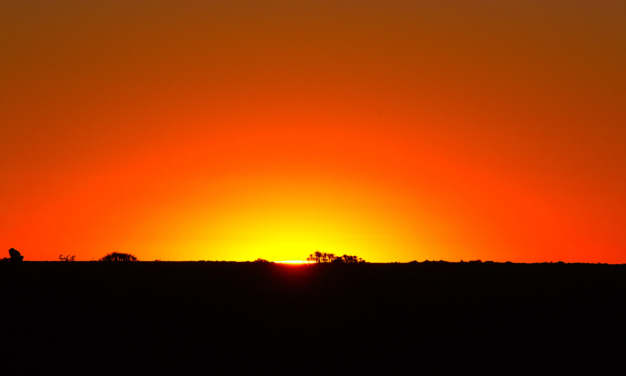
Billigheim is a small village in Rheinland/Pfalz in Germany. The area is characterized by agriculture and especially by wine growing. Billigheim is located in the Rhine valley a little east of the Palatinate Forest and only a few kilometers north of France, Alsace. This hike started with about 0900 o’clock quite early and at -1°C also with quite cool temperatures. The distance was almost 27 km and we actually hiked almost from sunrise to sunset at the end of November. In addition to the length of the hike, there was an ascent of almost 700 meters, so that we noticed our feet especially at the end of the hike. GPX track for download: http://www.summer-ends.de/hiking-tracks/hiking-gpx-track-billigheim-rheinland-pfalz-germany/
2021 Italy – Grande Traversata delle Alpi (GTA) – II


The Grande Traversata delle Alpi, or GTA, is a long-distance hiking trail that spans over 1000 kilometers through the Italian Alps. This trail is a unique blend of natural beauty, history, and culture that offers hikers a once-in-a-lifetime experience.
„2021 Italy – Grande Traversata delle Alpi (GTA) – II“ weiterlesen2021 Italy – Grande Traversata delle Alpi (GTA) – I


The Grande Traversata delle Alpi, or GTA, is a long-distance hiking trail that runs through the Italian Alps. Spanning over 1000 kilometers, the trail winds through some of the most breathtaking mountain landscapes in Europe, offering hikers the opportunity to experience a unique blend of culture, history, and natural beauty.
„2021 Italy – Grande Traversata delle Alpi (GTA) – I“ weiterlesenGPS GPX Track Hiking Haefnerhaslach
Gesamtstrecke: 21187 m
Maximale Höhe: 427 m
Minimale Höhe: 268 m
Gesamtanstieg: 651 m
Gesamtabstieg: -682 m
Gesamtzeit: 05:53:57
Download file: 2021-03-28%20Haefnerhaslach.gpx
Maximale Höhe: 427 m
Minimale Höhe: 268 m
Gesamtanstieg: 651 m
Gesamtabstieg: -682 m
Gesamtzeit: 05:53:57
2020 Slovenia


Nestled in the heart of Europe, Slovenia is a small country with a big heart and an even bigger reputation for natural beauty. From its towering mountains to its crystal-clear lakes, Slovenia is a country that truly has it all.
„2020 Slovenia“ weiterlesenHiking Around Koblenz In November In Germany
On this hike we had to drive a little further to Koblenz in Germany. The tour led for a large part through the city forest of Koblenz, but started in a village. The distance was 21 km with a total ascent of 860 m. The route almost always led through forest to the Rhine, then back along the city limits of Koblenz. For the most part we were able to walk completely alone. Especially the first two and the last two hours were almost completely on our own. However, at the end there was a steep ascent without a recognizable path, which was a bit strenuous at the end of the tour. Furthermore we had to overcome some hurdles in the form of felled trees on the way, which seemed impenetrable at first. Fortunately we managed to get through them.
GPX track for download: http://www.summer-ends.de/hiking-tracks/hiking-track-koblenz-germany/