Day 4 - California - Joshua Tree National Park
5 May 2022


















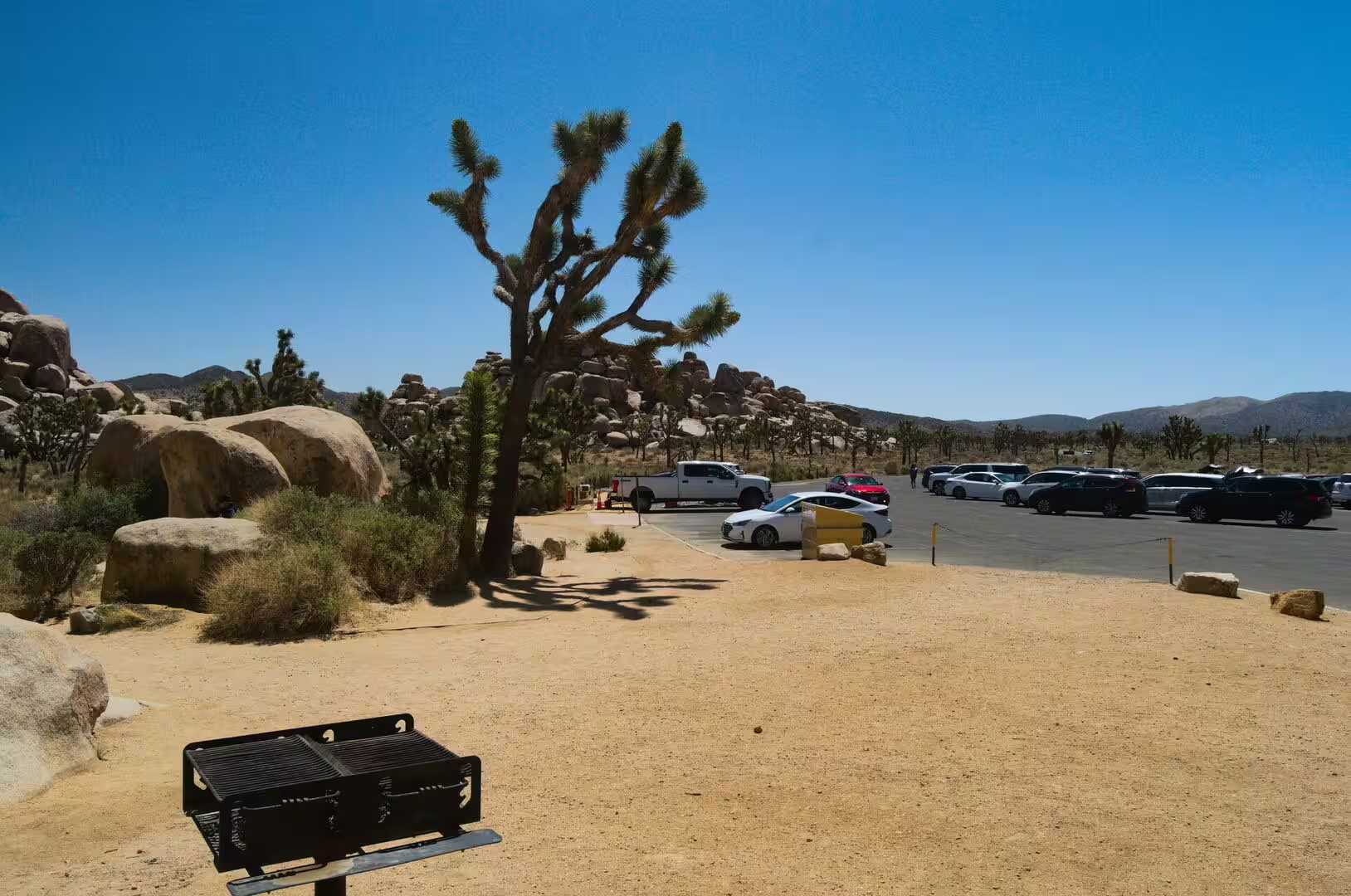

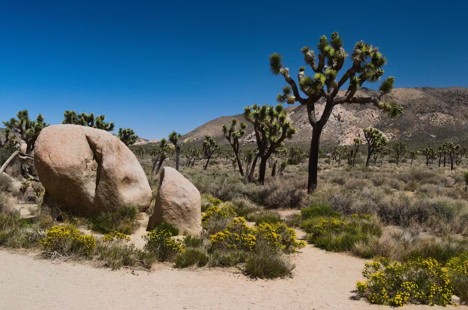
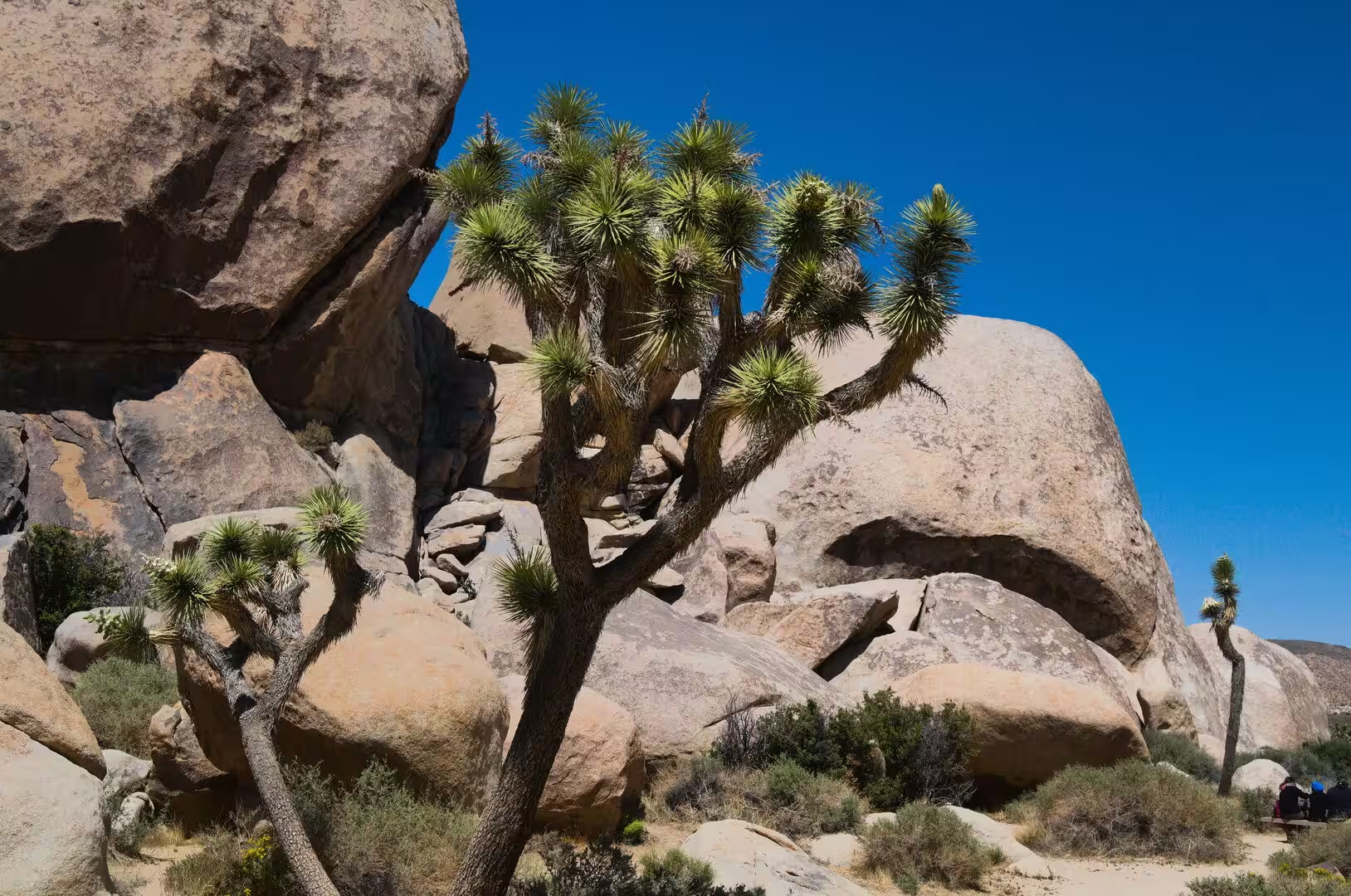
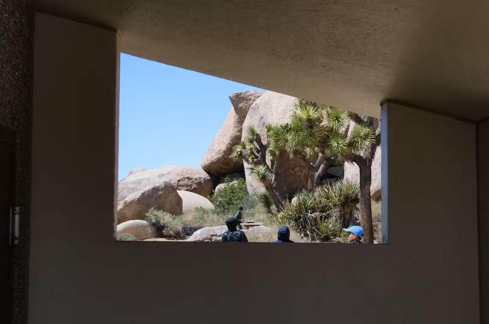







Journal Notes
General
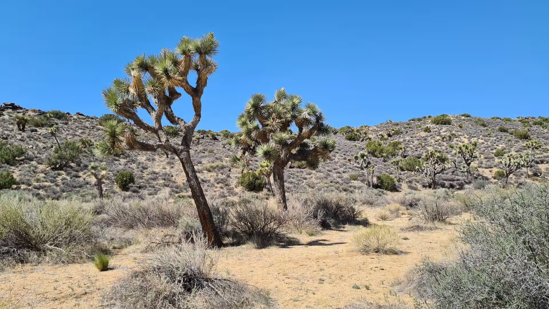
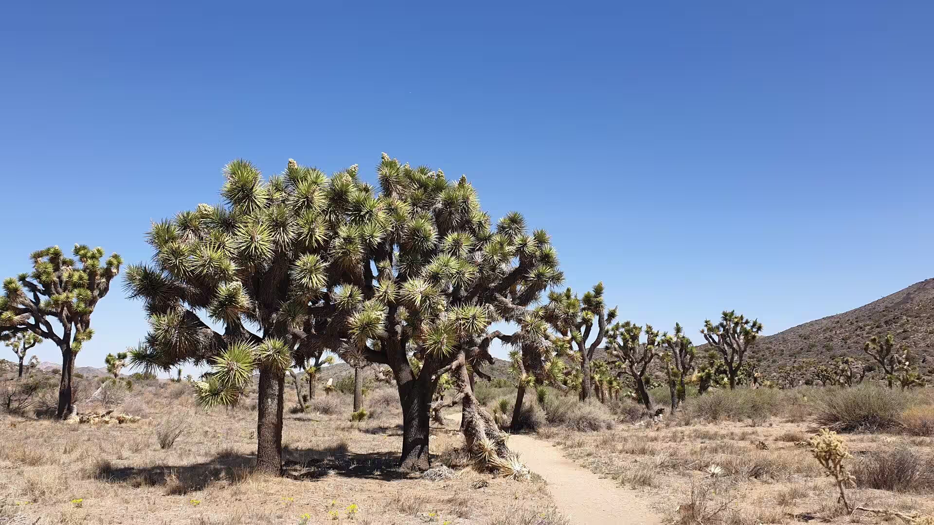
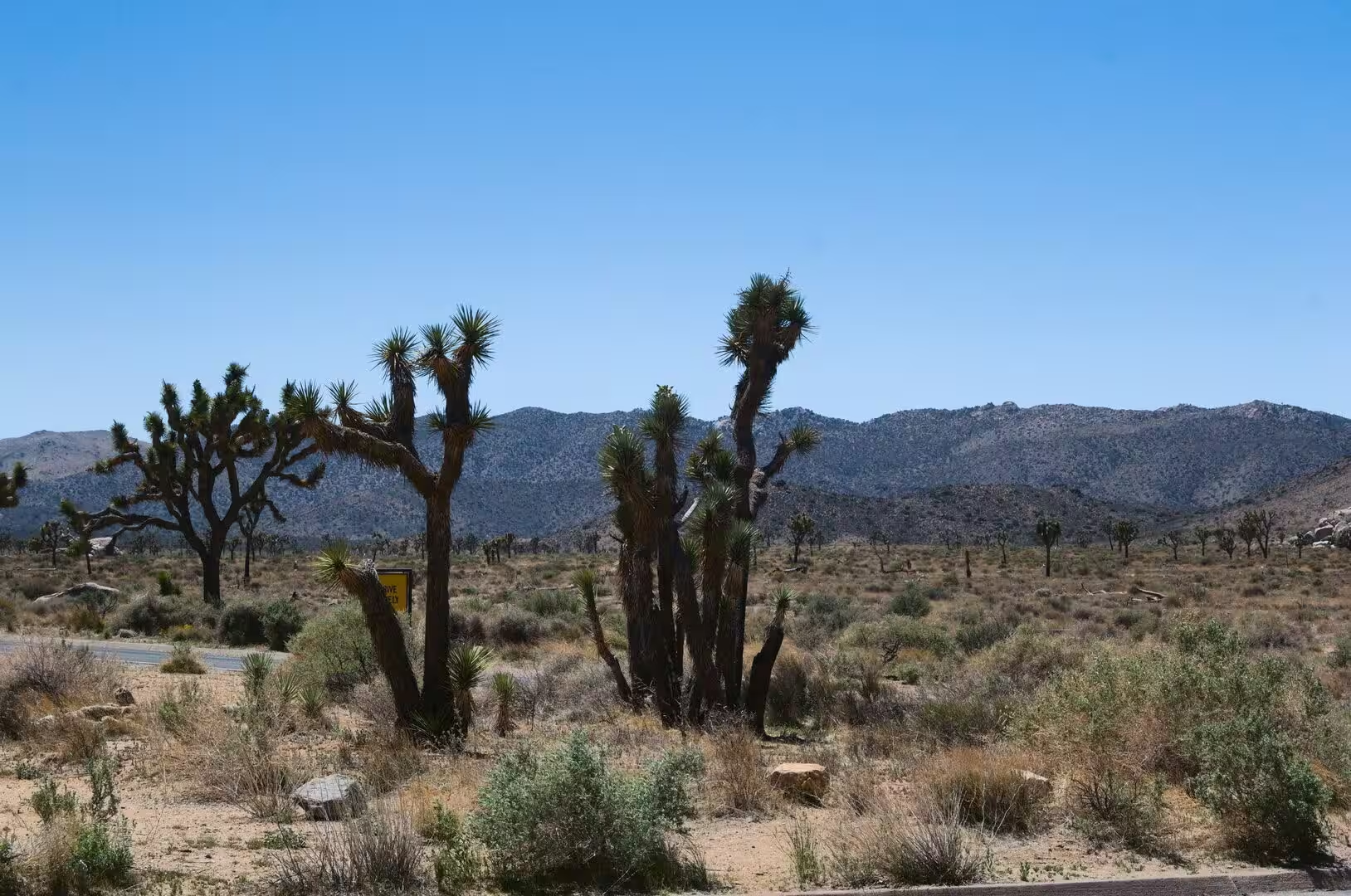
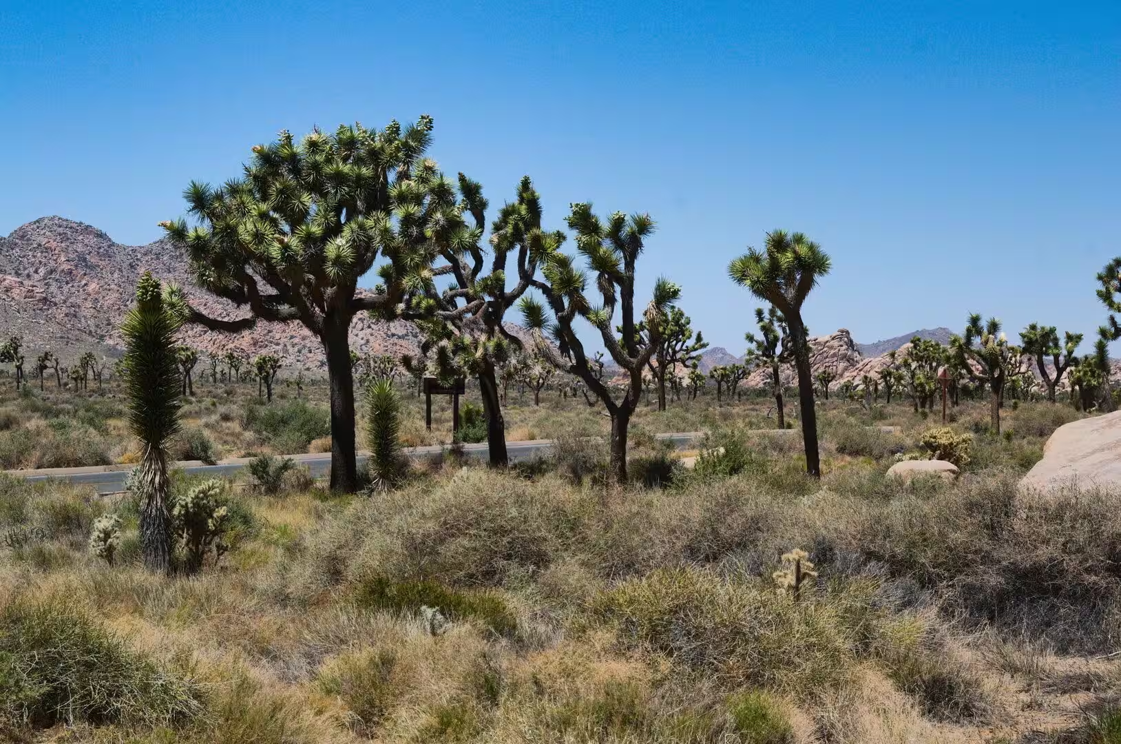
Joshua Tree National Park lies in south eastern California, straddling north central Riverside County and a part of southern San Bernardino County. It is named after the Joshua tree, the yucca that grows in the park and the country around it, and it stands about 130 miles, or 211 kilometres, east of Los Angeles and roughly 78 miles, or 125 kilometres, east of San Bernardino. The cities closest to its gates are Indio, Palm Desert and Palm Springs, and the whole of the park is reached within a day from the coast or from Las Vegas.
The protected area covers 795,156 acres, which is 1,242.4 square miles or 3,217.9 square kilometres, slightly more than the state of Rhode Island, and 429,690 acres of it are designated wilderness. It was declared a national monument in 1936 and redesignated as a national park in 1994, when Congress passed the California Desert Protection Act, and it therefore belongs to the second generation of American desert parks rather than to the first.
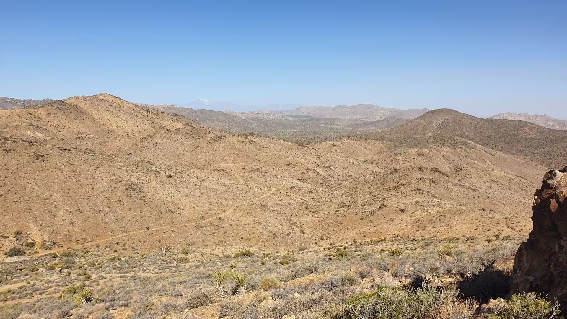
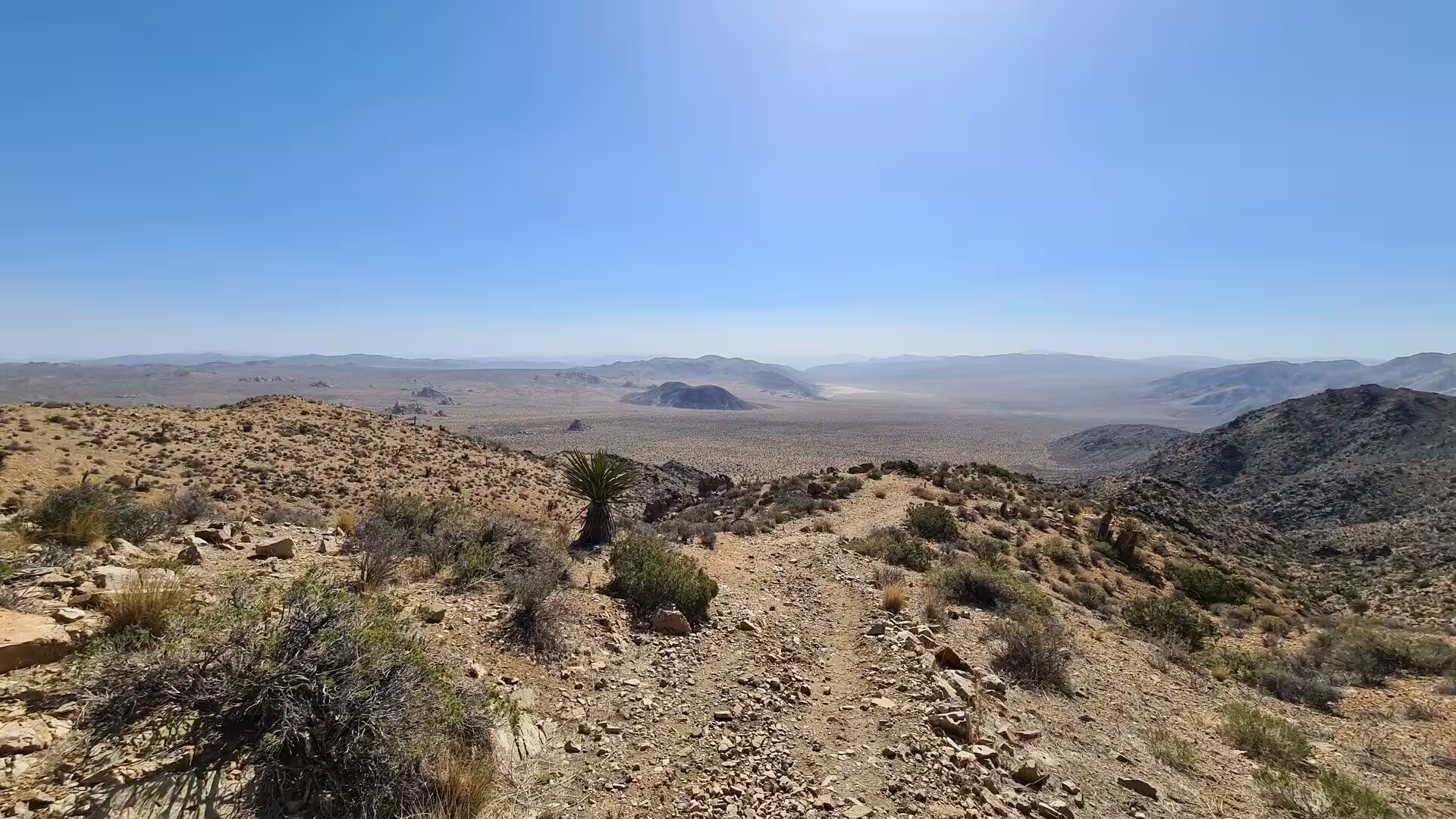
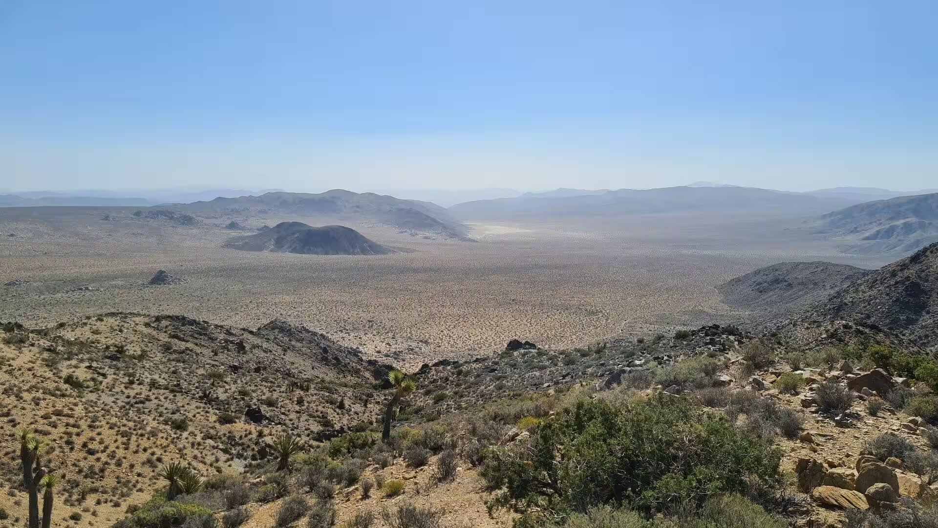
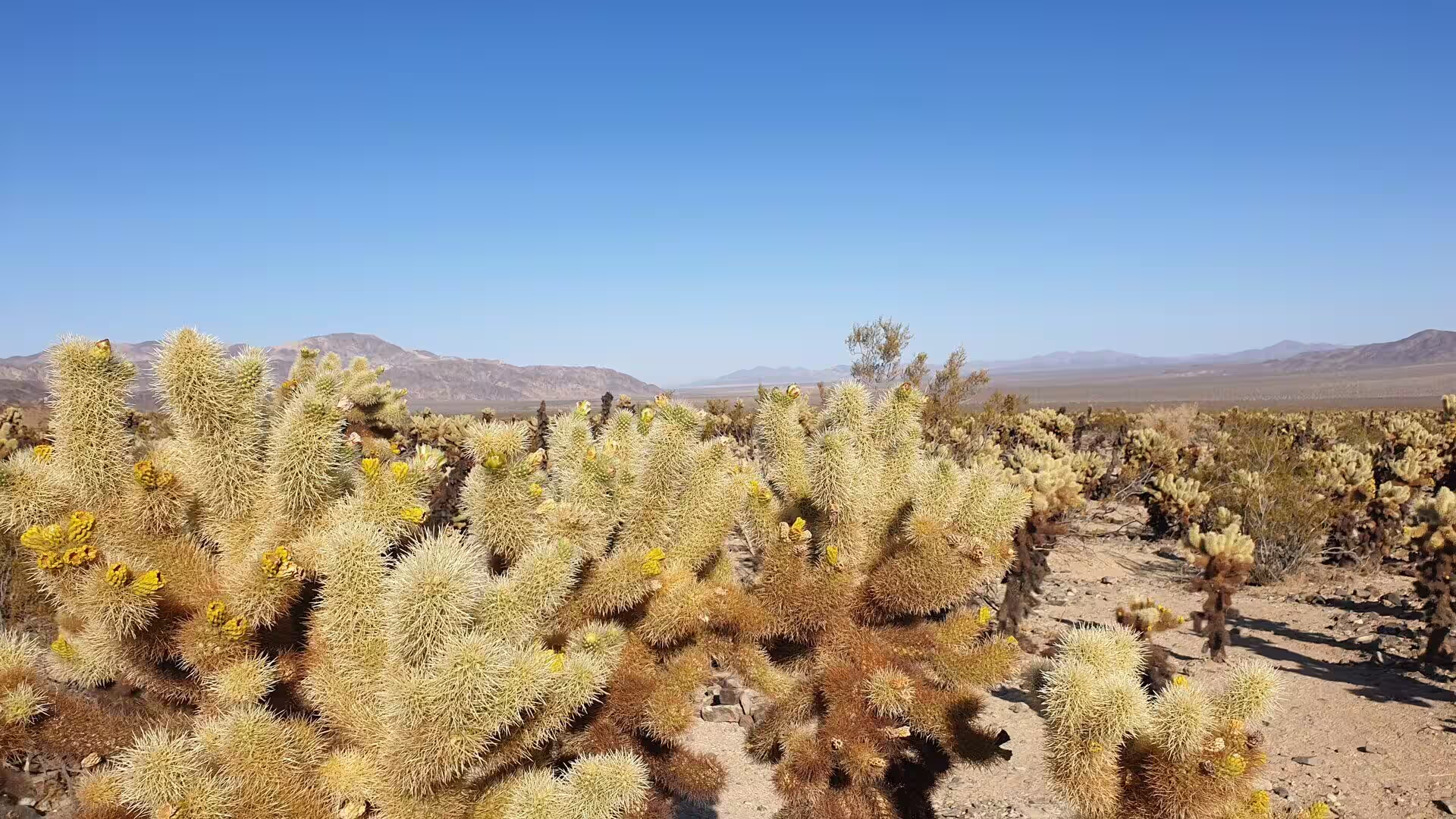
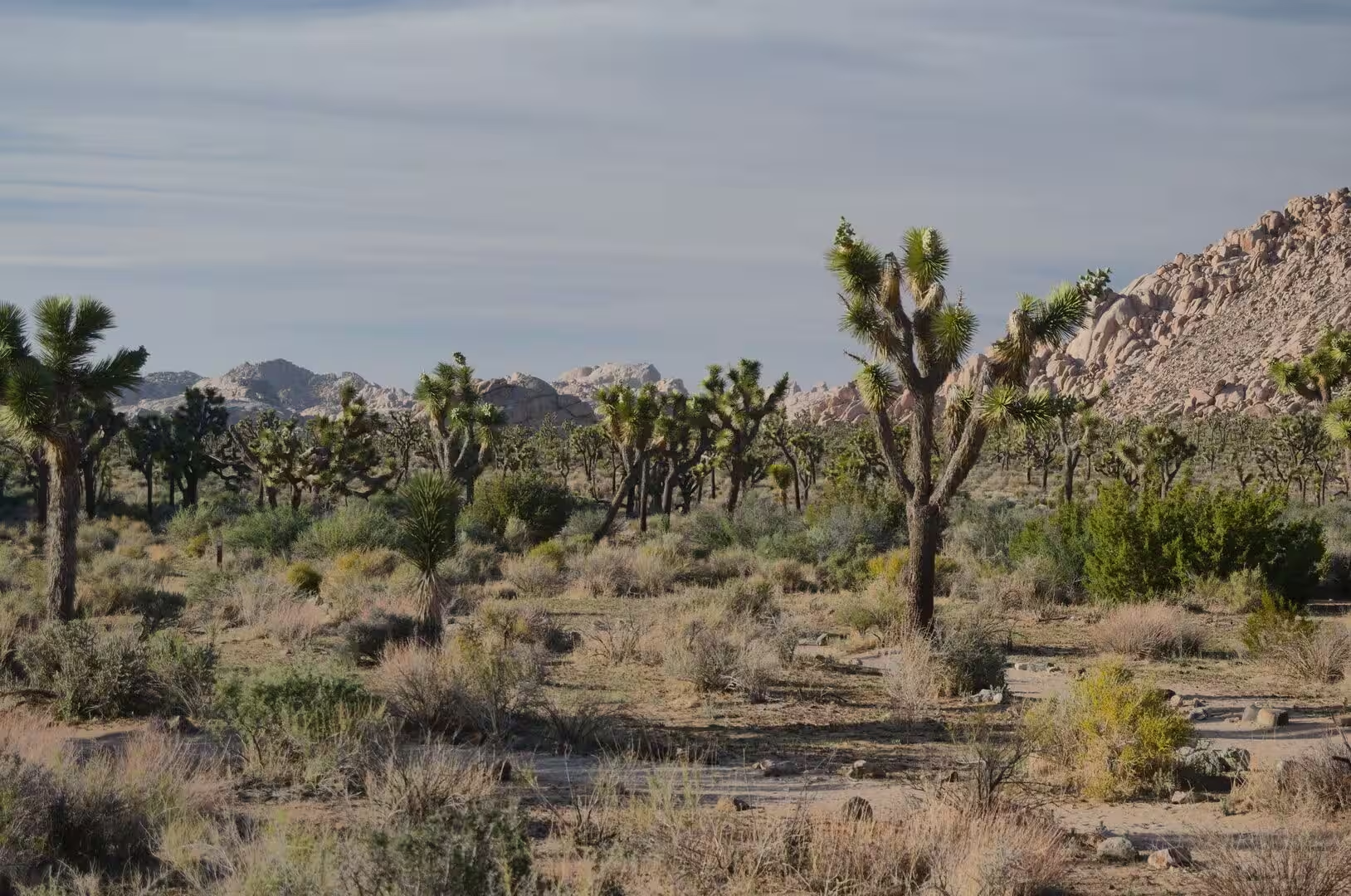
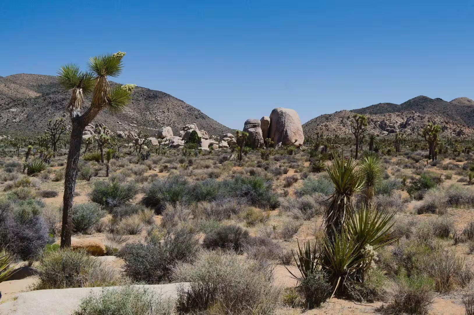
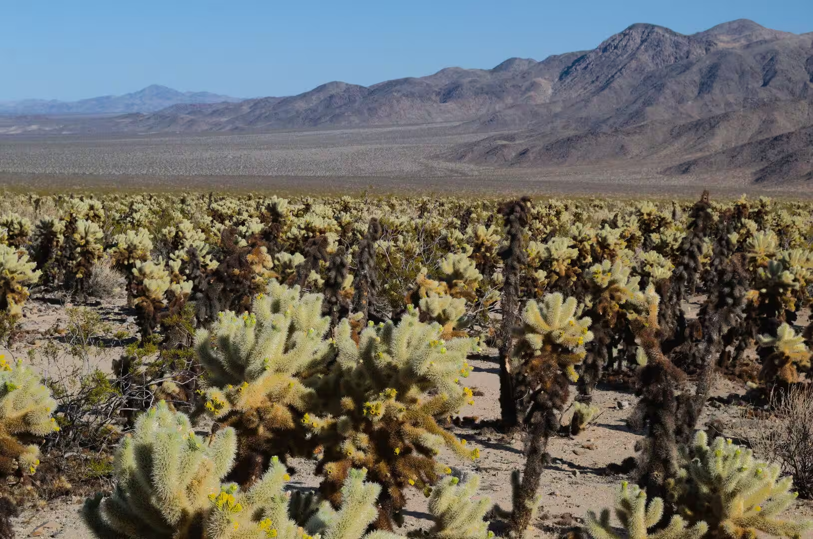
The park contains portions of two deserts, each with its own ecosystem determined mainly by elevation. The higher ground belongs to the Mojave Desert, the lower and hotter south eastern part to the Colorado Desert, which is itself a subregion of the Sonoran Desert. The Little San Bernardino Mountains line the south western edge of the park, and the boundary between the two deserts runs through the middle of the protected area, visible in the change of the vegetation rather than in any line on the ground.
Six blocks of mountains stand inside the park, and five of them, the Little San Bernardino, Hexie, Pinto, Cottonwood and Eagle ranges, belong to the Transverse Ranges, which run generally east to west in this part of California. Between them lie wide basins such as the Pinto Basin, dry washes, and plains of gravel and sand. The park’s climate is a hot desert climate, with the extremes of temperature that the classification implies, and the summers are becoming hotter and the rainfall less frequent than they were a century ago.
Visitation is concentrated in a few places. The park is entered from Twentynine Palms in the north, from Joshua Tree and Yucca Valley in the north west, and from the south through the Cottonwood area, and most of the roads inside it are short spurs from one of those entrances. The distances between the entrances are long, the services inside the park are few, and the water that visitors drink has to be carried in with them. There are nine established campgrounds in the whole protected area.
History
The earliest known inhabitants of the land were the people of the Pinto Culture, who lived and hunted here between 8000 and 4000 BCE. Their stone tools and spear points were discovered in the Pinto Basin in the 1930s, and they indicate a life of hunting and of gathering seasonal plants, although little else about them is known. They were followed by the Serrano, the Cahuilla and the Chemehuevi, who lived in small villages near water, above all at the Oasis of Mara in what later became Twentynine Palms, and who used the plants of the desert for food, medicine, bows, arrows and baskets.
A fourth people, the Mojave, came into the region to use its resources without settling it permanently, and the desert as a whole was the country of small and widely scattered groups rather than of dense settlement. The villages were placed at springs and at the few permanent water holes, and the routes between them followed the oases and the passes that later carried the wagons and the roads.
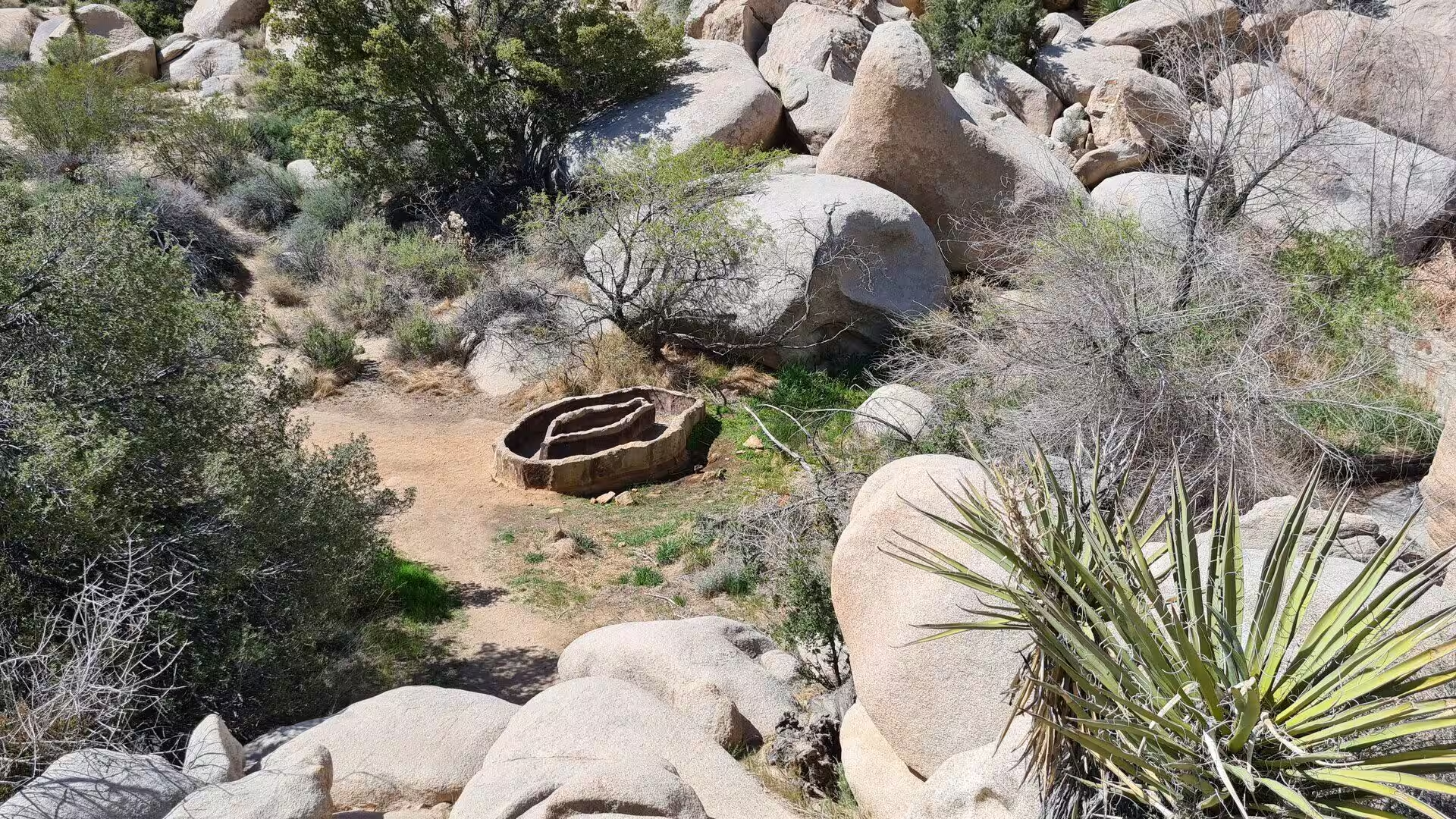
Settlement of the modern kind began with cattle. In 1870 white settlers started grazing stock on the tall grasses that grew in what is now the park, and in 1888 a gang of cattle rustlers led by the brothers James B. and William S. McHaney moved into the country around the Oasis of Mara and hid stolen cattle in a box canyon at Cow Camp. Ranchers dug wells and built rainwater catchments known as tanks, among them the White Tank and the dam that carries the name of Barker, and grazing continued inside the present park until 1945.
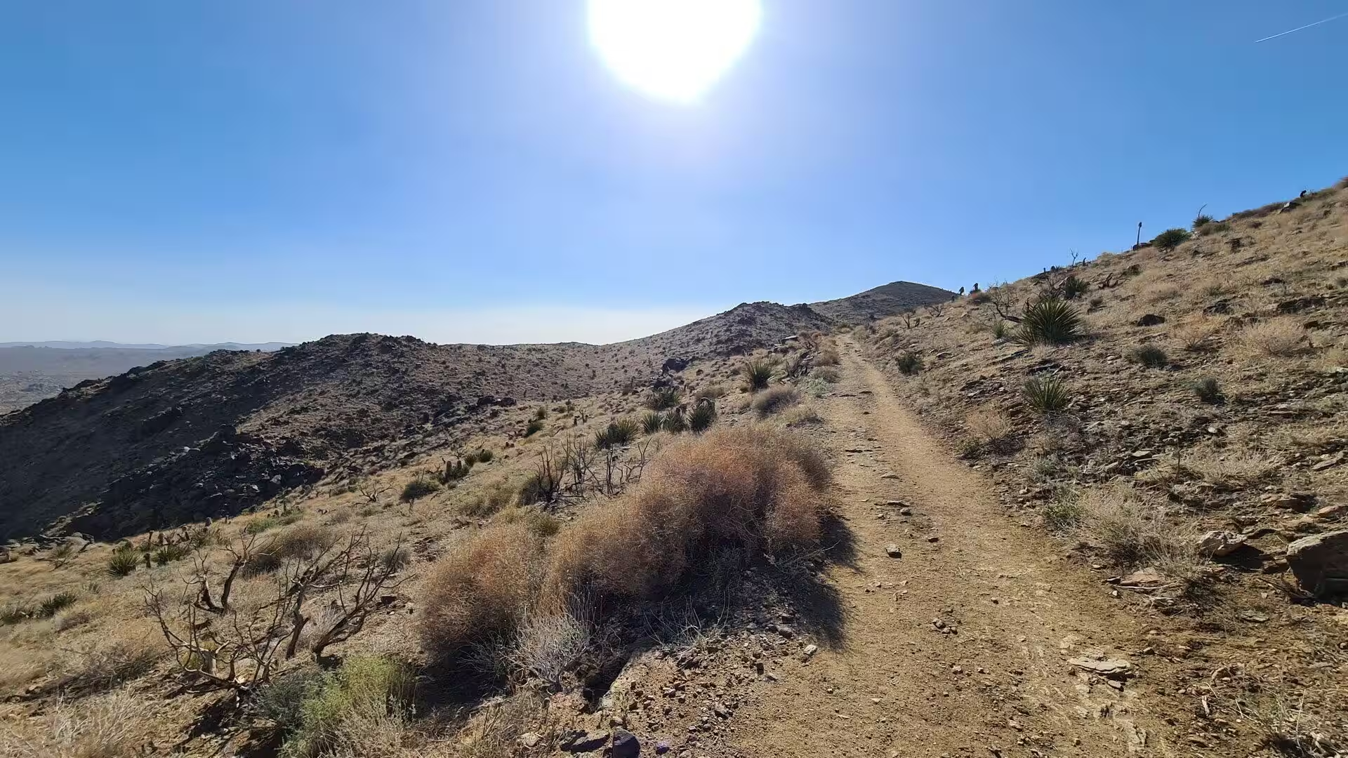
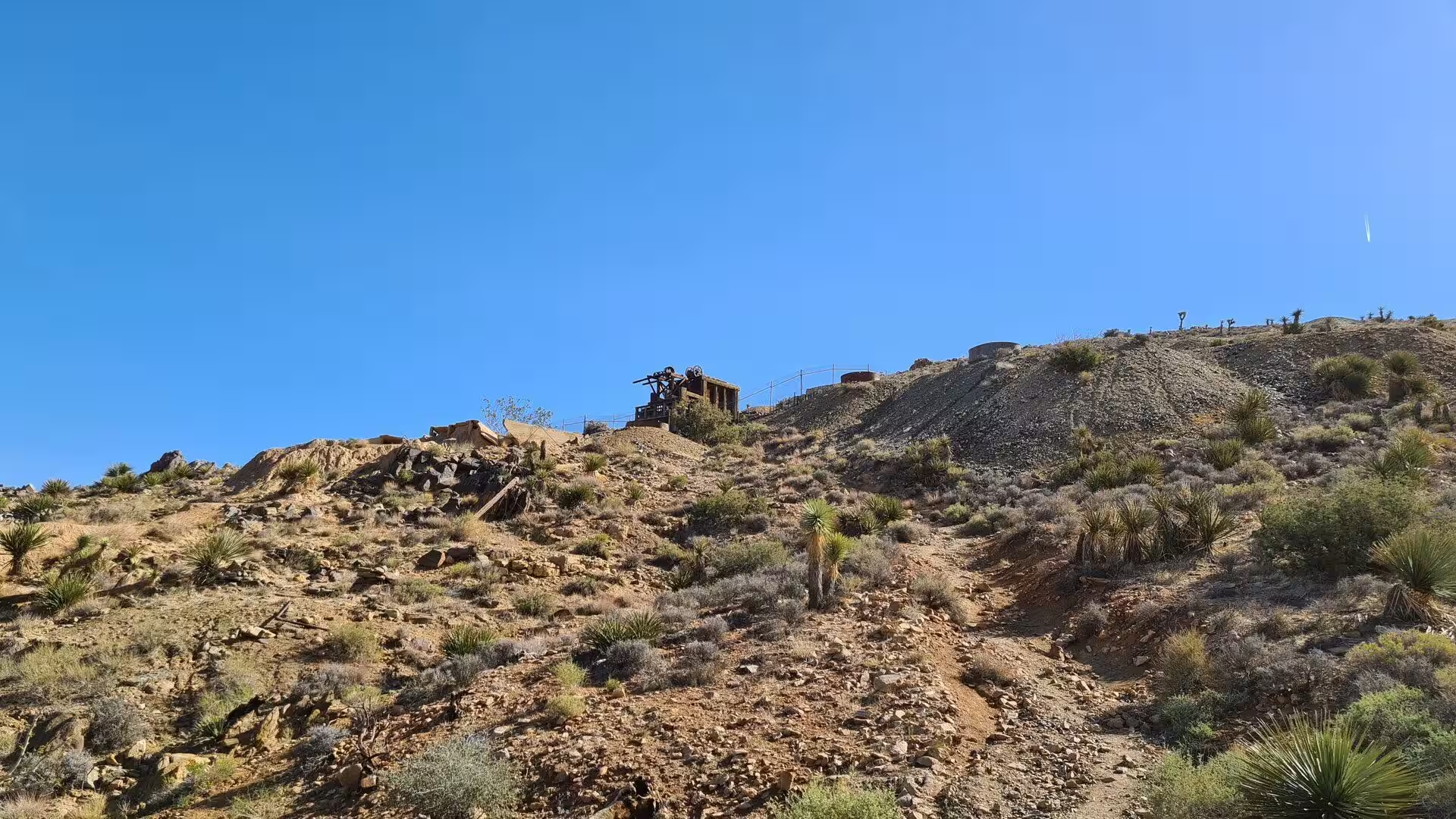
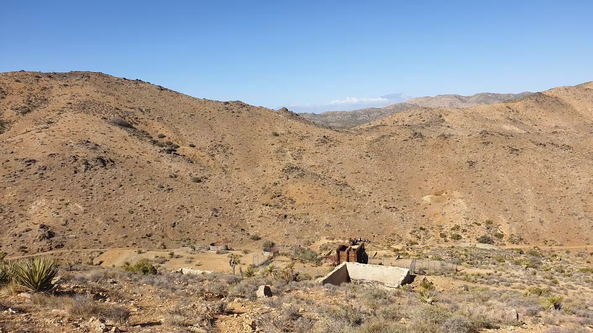
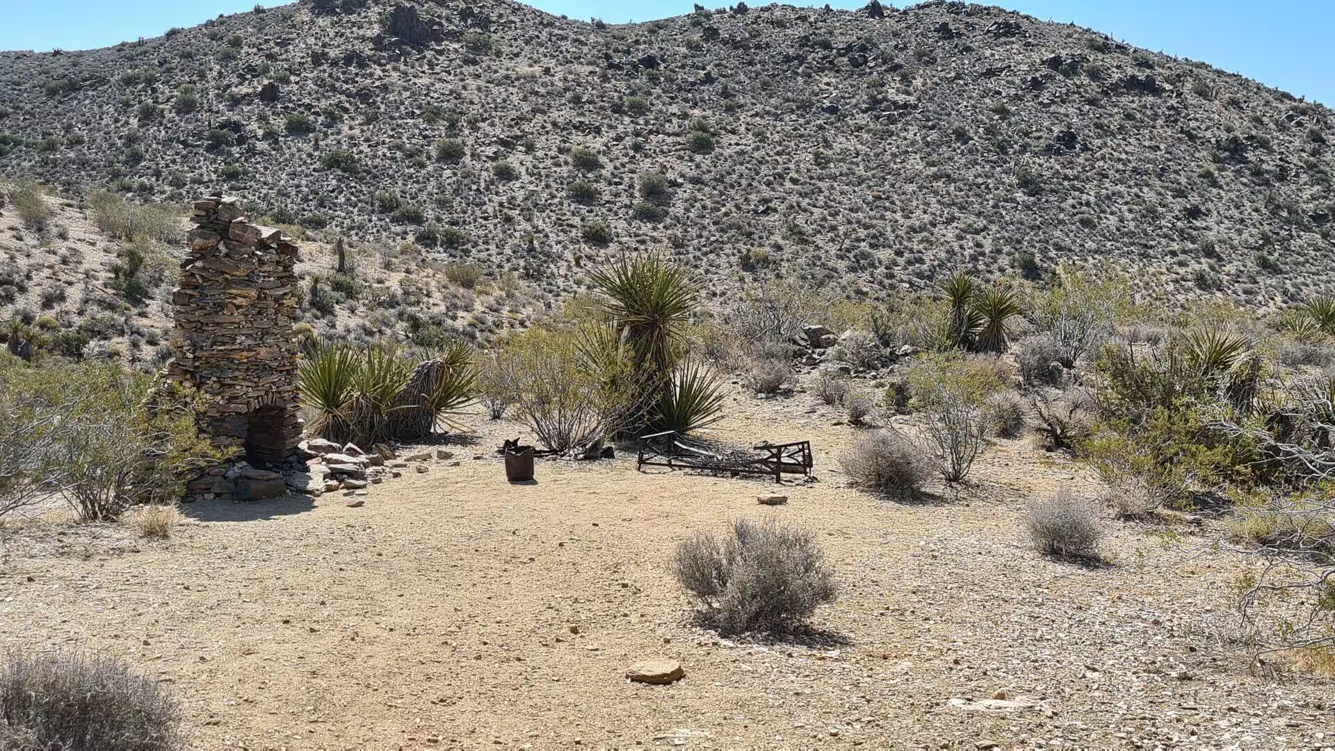
Mining followed the cattle. Between the 1860s and the 1940s about three hundred pit mines were worked in the area, most of them small and short lived. The most successful was the Lost Horse Mine, which produced gold and silver worth about five million United States dollars at present values, and which passed through the hands of Johnny Lang and his partners, who installed a two stamp mill at the site, and of J.D. Ryan, who replaced it with a steam powered mill of ten stamps and cut timber in the surrounding hills to fire its boiler. Most of the structures of the mine have since collapsed, and the openings have been closed for safety.
The protection of this country was the work of campaigners as much as of government. On 10 August 1936, after Minerva Hoyt and others persuaded the state and federal authorities, President Franklin D. Roosevelt used the power of the Antiquities Act of 1906 to establish the Joshua Tree National Monument, protecting about 825,000 acres. In 1950 the monument was reduced by approximately 290,000 acres to open land to mining, and on 31 October 1994 the Desert Protection Act redesignated it as a national park and added 234,000 acres. A further 4,518 acres were added in 2019 under the John D. Dingell Jr. Conservation, Management and Recreation Act, and private land inside the park has been bought up by the Mojave Desert Land Trust, which has transferred more than 25,000 acres to the National Park Service.
Geology
The oldest rocks of the park are among the oldest in California. The Pinto Gneiss and its neighbours are about 1.7 billion years old, and they appear at the surface in the Cottonwood, Pinto and Eagle Mountains. These are the roots of mountains that were raised and then worn down long before the landscape of today existed, and they form the basement on which everything else was deposited or intruded.
Between 250 and 75 million years ago the movement of tectonic plates forced molten material towards the surface in this region and produced the granites of the park, among them the monzogranite that makes up the Wonderland of Rocks and parts of the Pinto, Eagle and Coxcomb Mountains. The harder rocks, gneiss and granite, were eventually left standing as uplands when the softer material around them eroded away, and the debris filled the canyons and basins between the ranges.
That debris was moved by gravity and by water. Alluvial fans formed at the mouths of the canyons, and where the fans overlapped they built the broad slopes known as bajadas, which cover much of the floor of the park between the mountain blocks. The same process continues after every storm, when the dry washes carry sand, gravel and boulders out of the mountains and spread them across the lower ground.
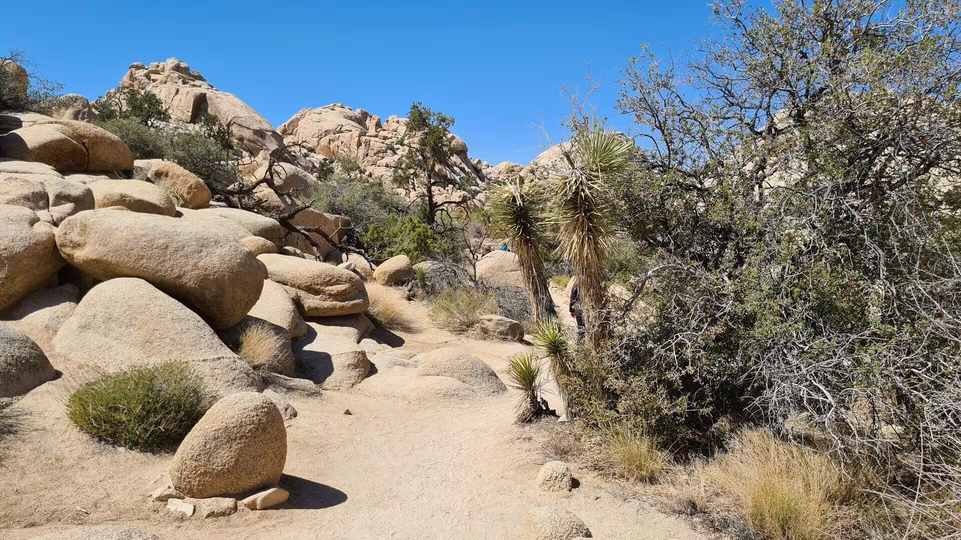
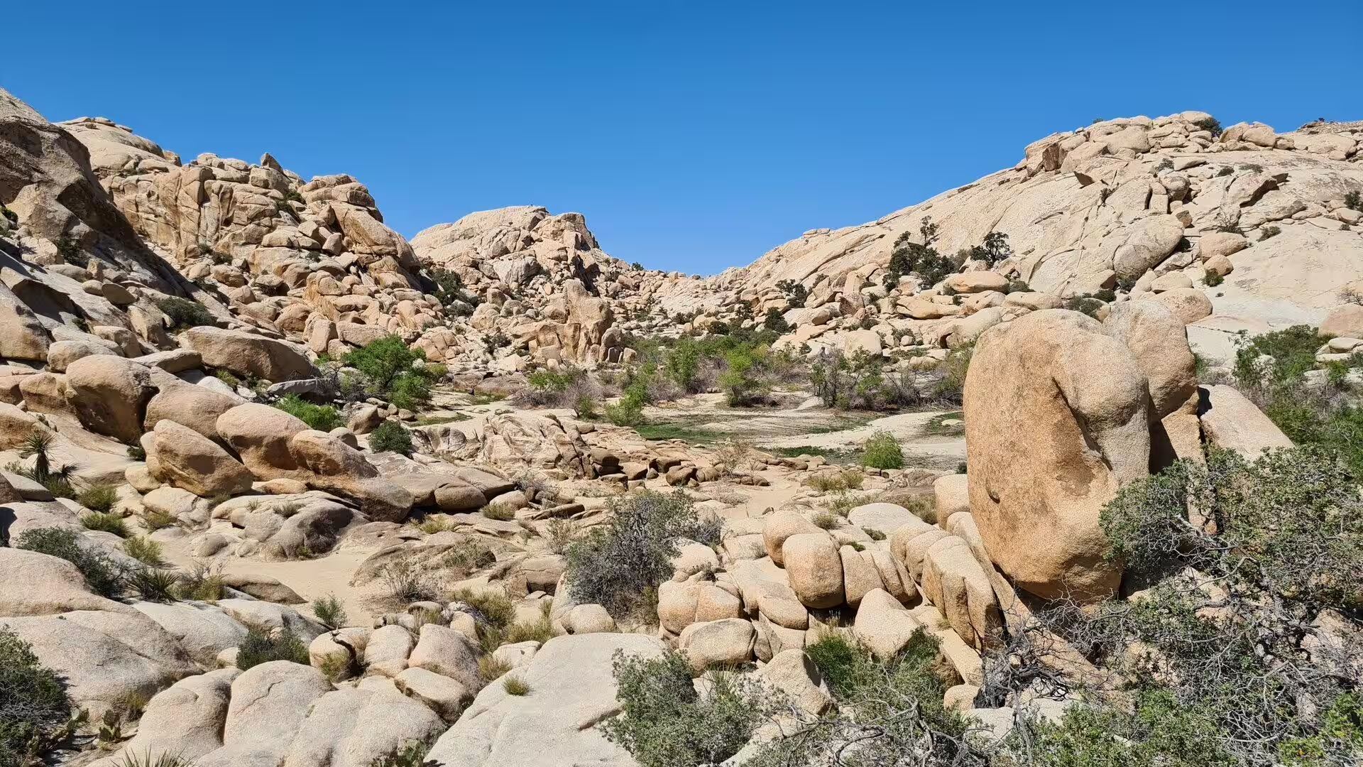
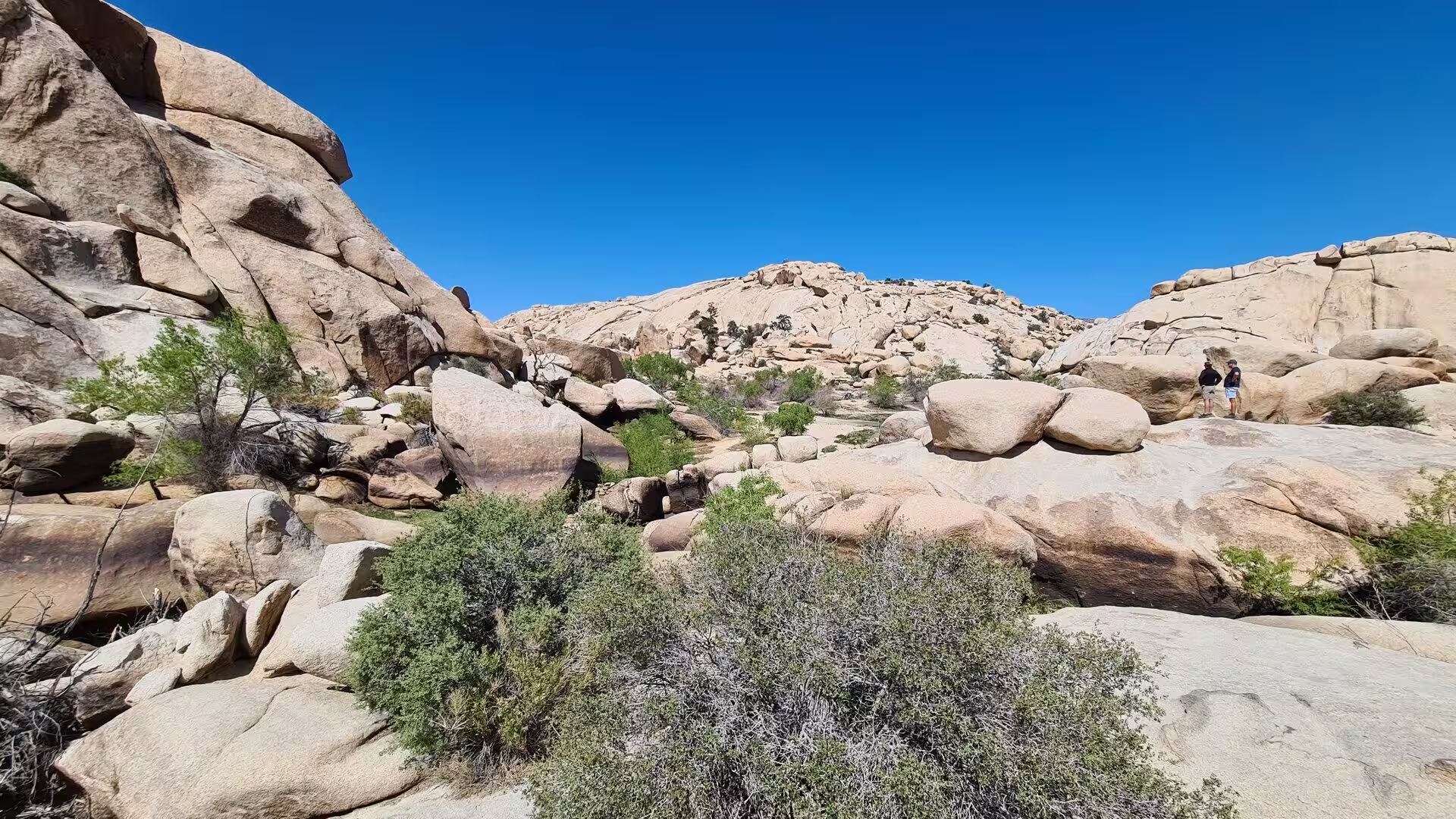
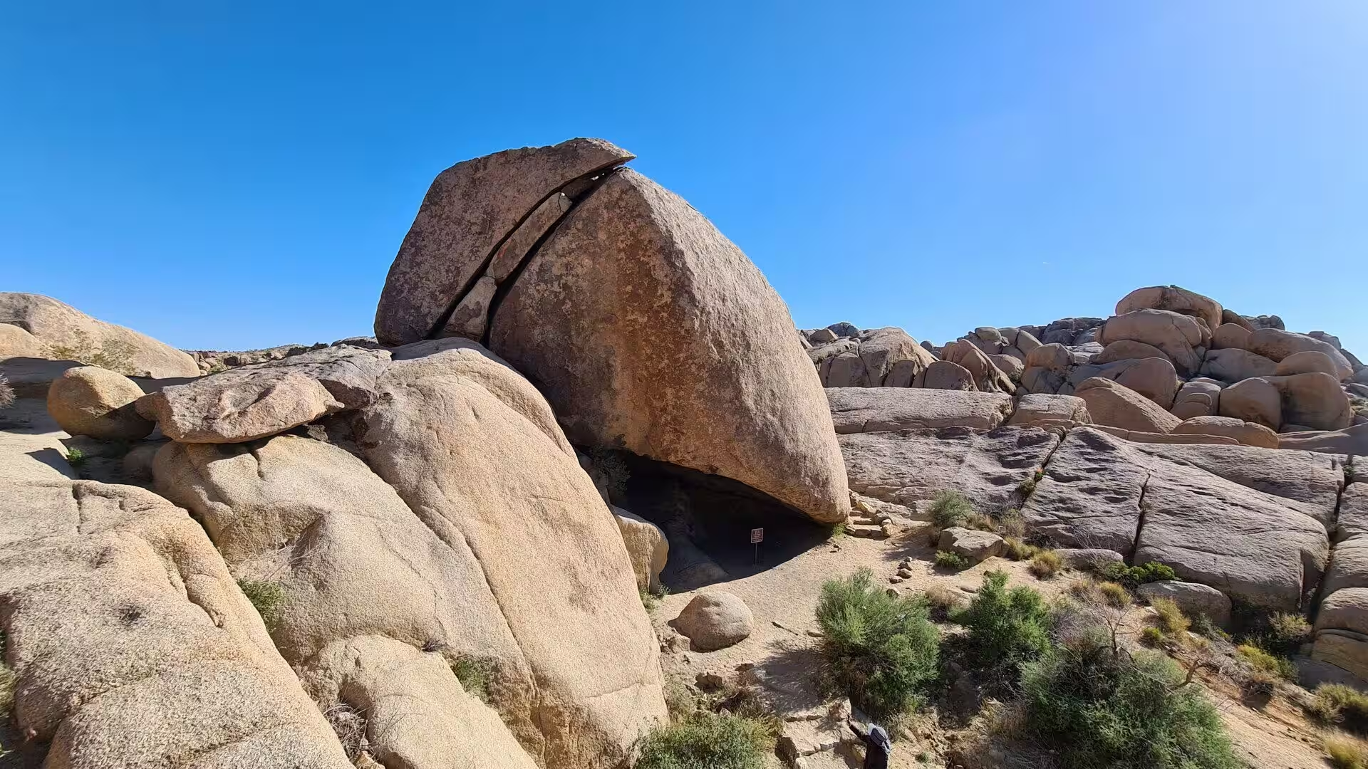
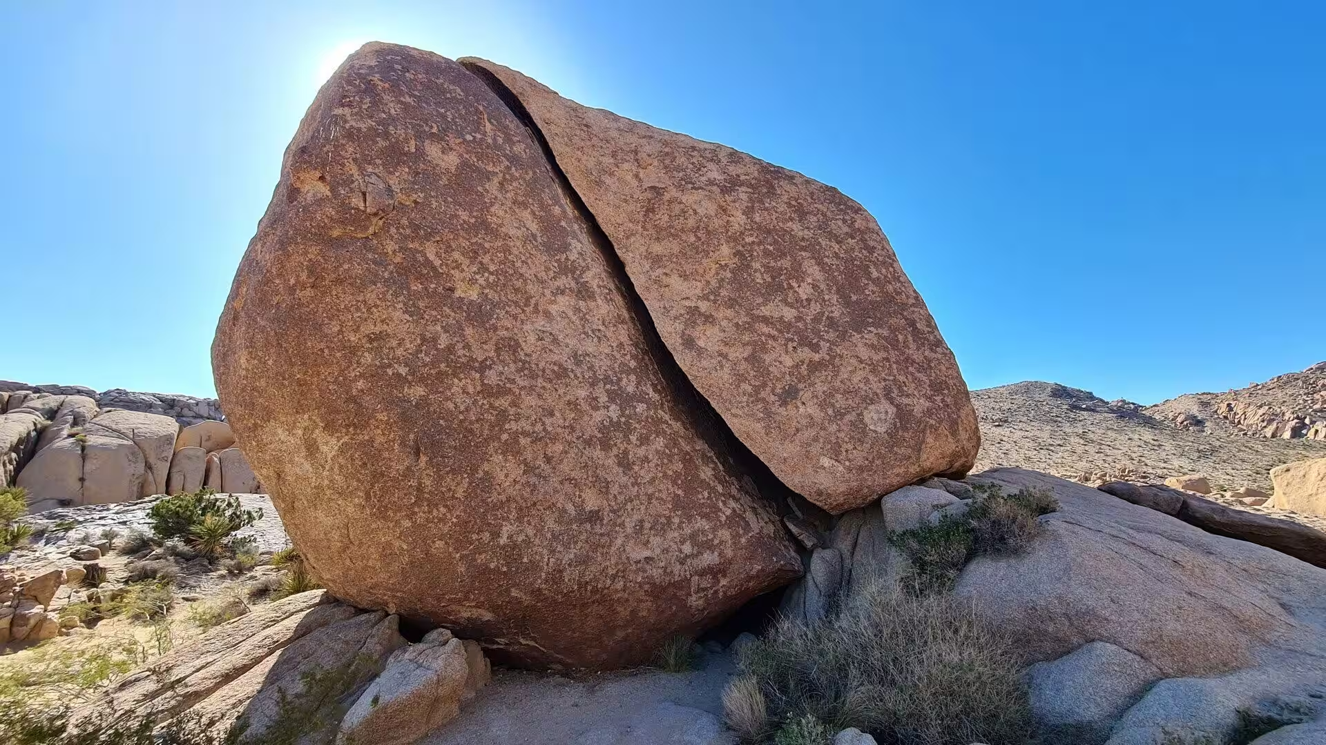
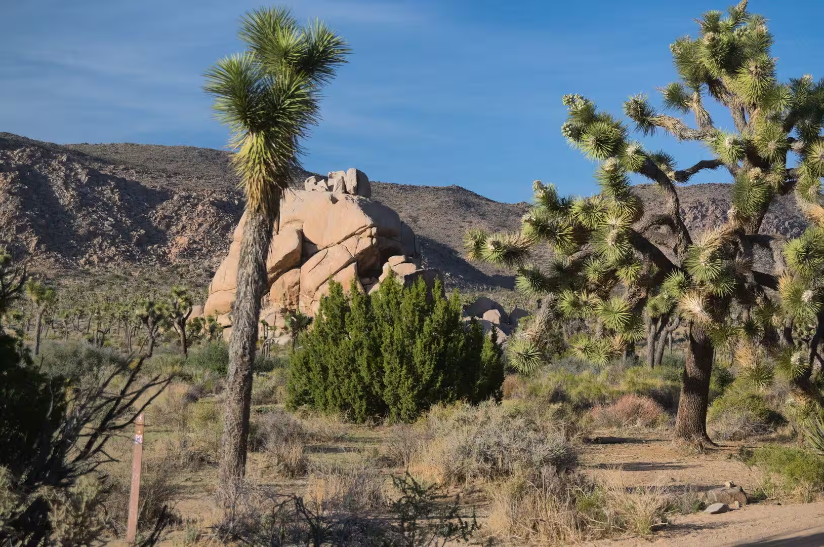
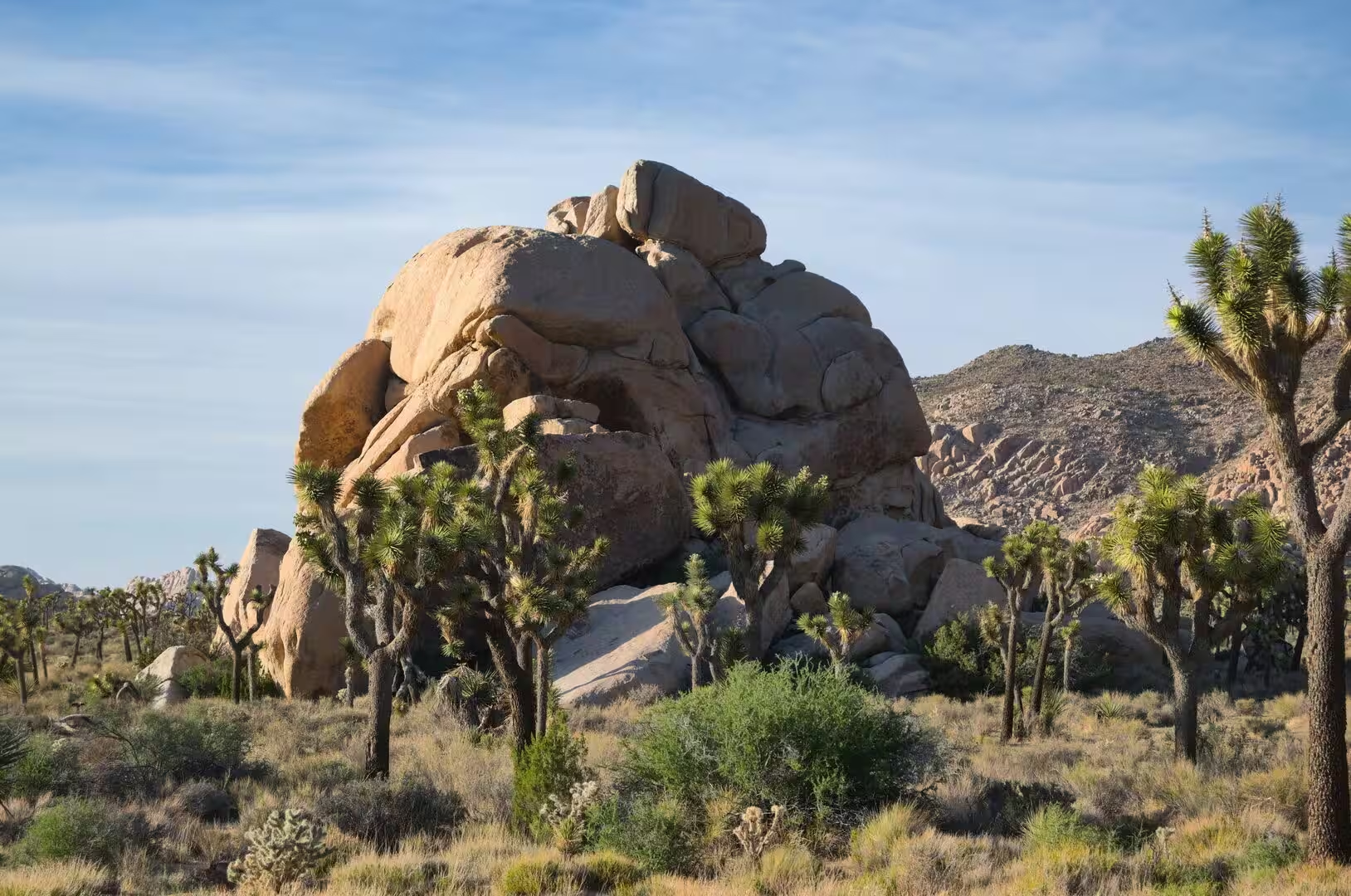
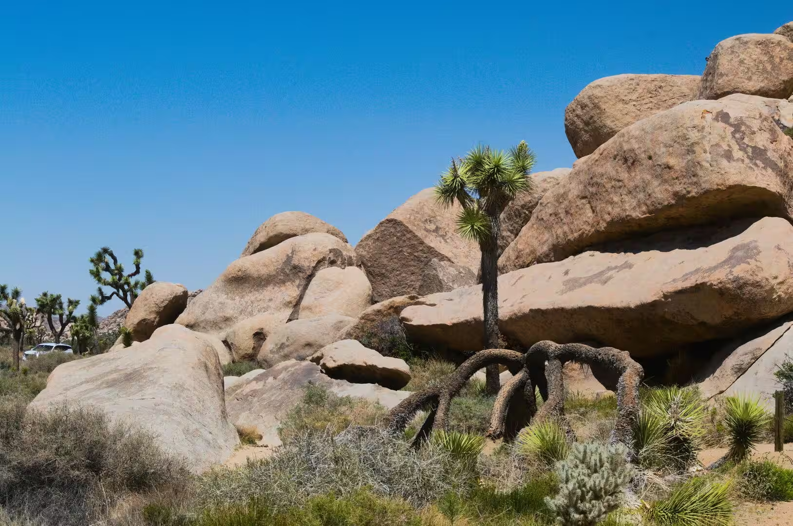
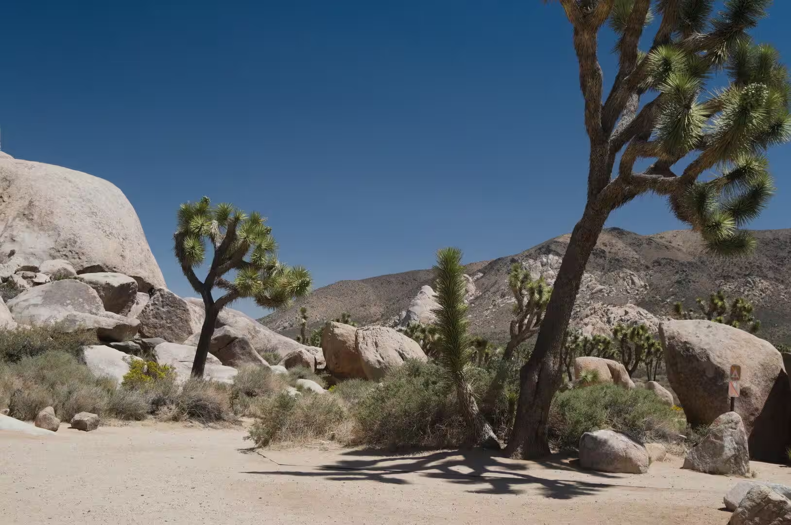
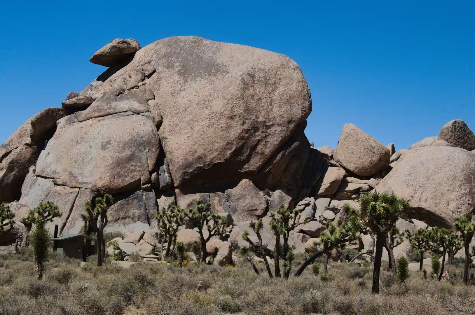
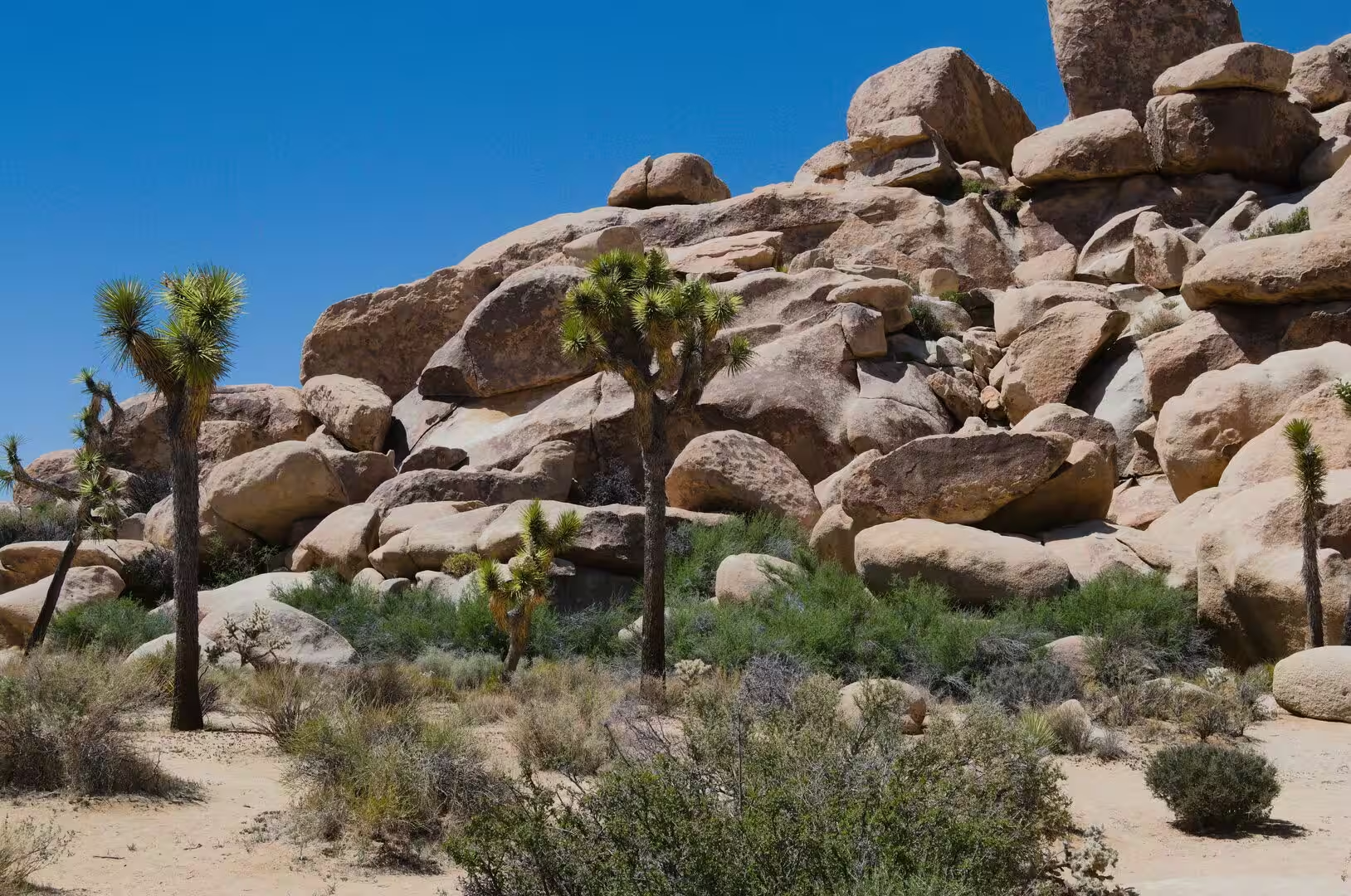
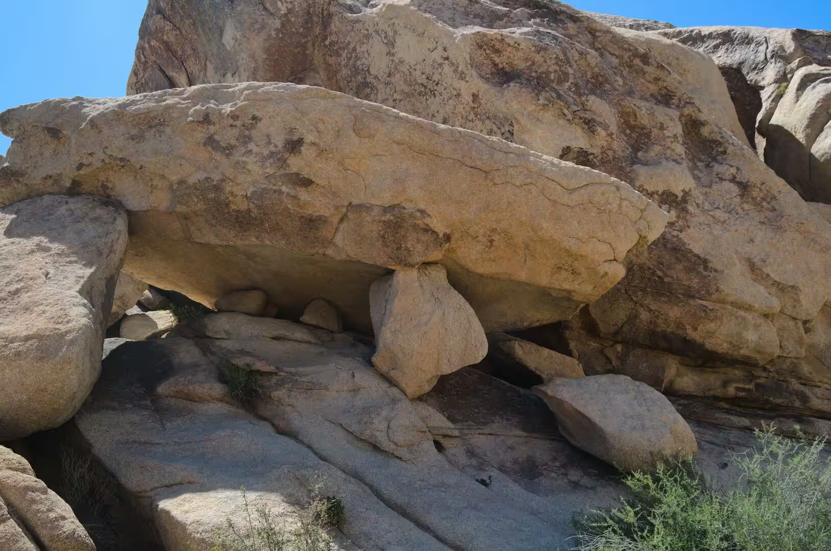
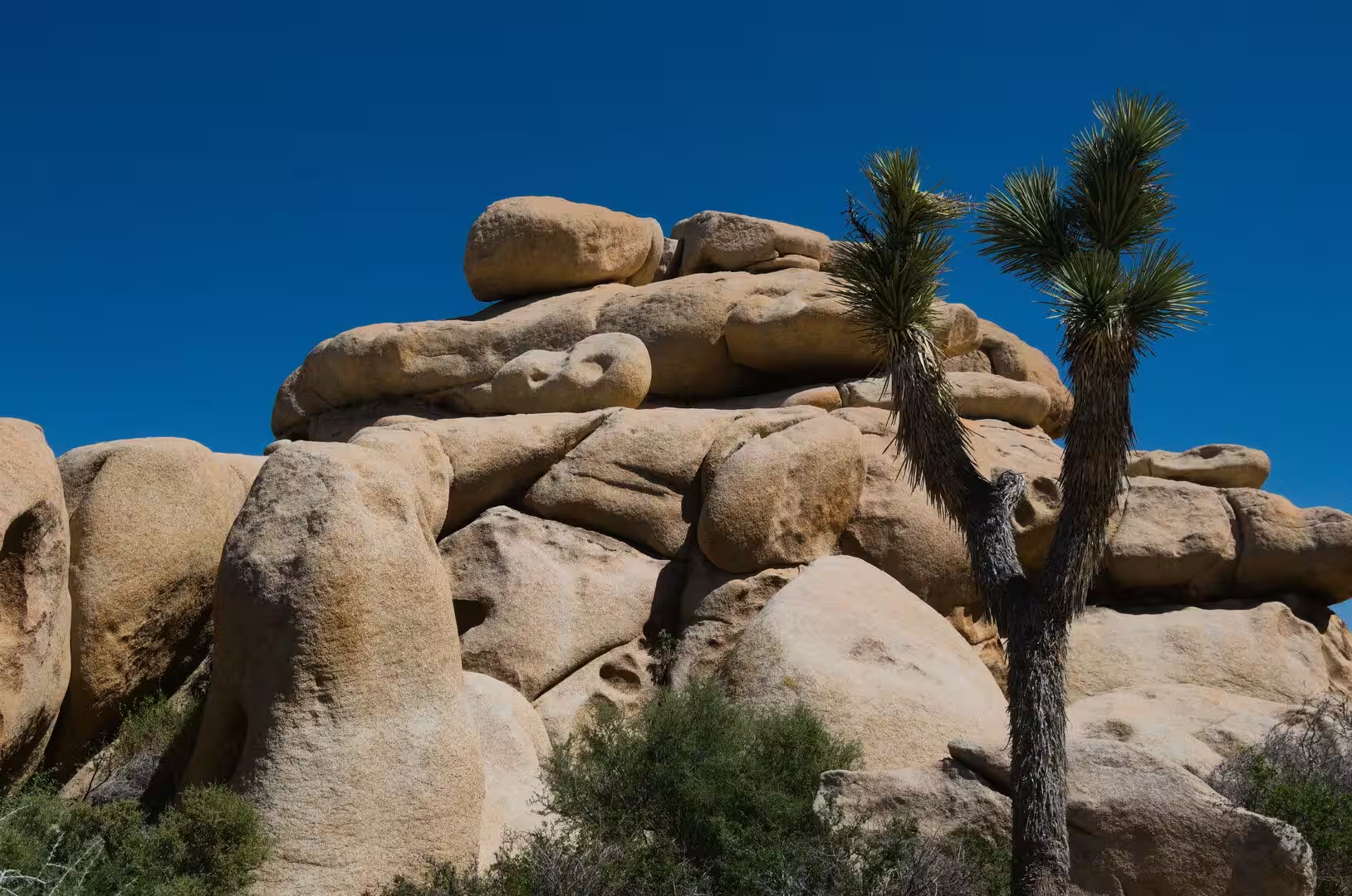
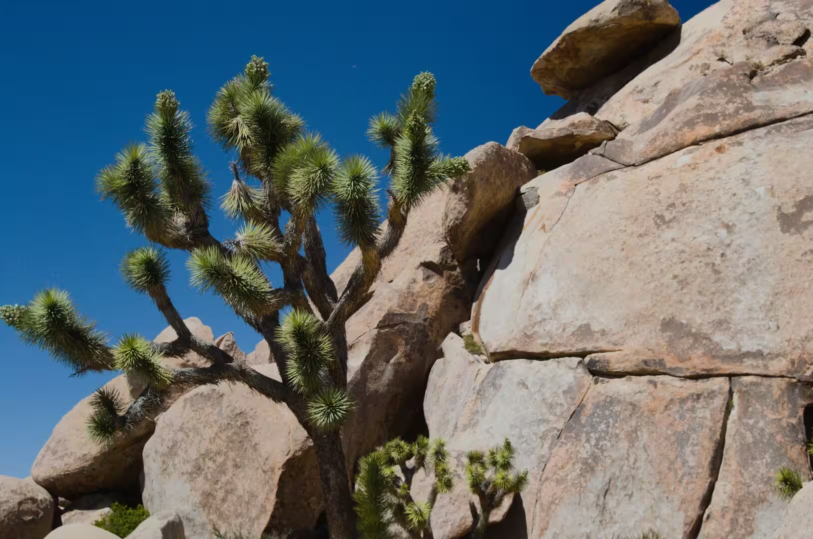
The shapes of the famous rock formations owe their form to two forces. Groundwater, filtering through the roughly rectangular joints of the monzonite, eroded the corners and edges of the blocks and rounded them from within, while flash floods later washed away the covering soil and left the boulders piled in the open. Outcrops formed in this way are called inselbergs, and the piles of rounded stone that stand above the desert floor in the Wonderland of Rocks and at Skull Rock are the result of the combination of the two.
The mountain blocks of the park are geologically part of the Transverse Ranges, which run east to west rather than north to south as most of the ranges of California do, five of the six blocks of the park belonging to that system. The San Andreas Fault passes close to the southern edge of the park near Keys View, where the fault, the Salton Sea and the Coachella Valley can be seen together from a single point, and the presence of the fault explains both the relief of the region and the frequency of earthquakes in it.
Things to See
Keys View is the classic overlook of the park and the best introduction to its geography. From the south western rim the ground falls away to the Coachella Valley, and on a clear day the Salton Sea, the San Andreas Fault, the Santa Rosa Mountains and the city of Palm Springs lie in view at once. The road to it climbs through the Little San Bernardino Mountains, and the wind at the top is often strong enough to make the visit a short one.
Hidden Valley is the best known of the short nature walks. It is a ring of rocks that once enclosed a cattle hideout of the kind the rustlers of the 1880s used, and the trail around it takes less than an hour and explains the plants along the way. The longer trails of the park lead to the sites that the twentieth century left behind or to the oases that the first inhabitants lived from, among them Contact Mine, Fortynine Palms Oasis, Lost Horse Mine, Lost Palms Oasis, Ryan Mountain and the Ruby Lee Mill Site.
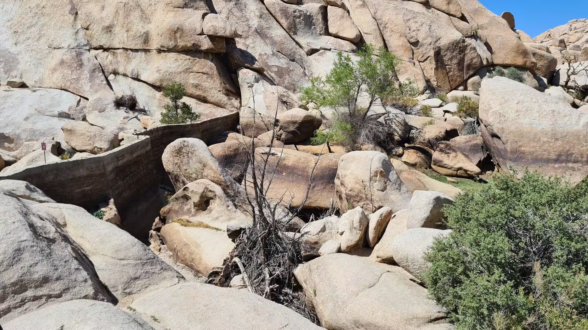
Barker Dam is the most visited of the historic water works. The original dam was built in 1900 by C. O. Barker, a miner and cattleman, and was later improved by the rancher William Keys, whose name is also given to the viewpoint above the Coachella Valley. Rainwater collected behind the dam attracted wildlife and watered stock, and the reservoir is still a place where bighorn sheep and birds come to drink; the structure was added to the National Register of Historic Places in 1975.
The California Riding and Hiking Trail crosses the western side of the park for 35 miles, or 56 kilometres, and connects several of the campgrounds with the backcountry. Nine campgrounds are established inside the park, most of them simple sites without water, and reservations are required in the cooler months, when the nights are cold and the days are ideal for walking. Camping in the wilderness is allowed outside the designated sites with the usual desert precautions.
Climbing is the other great use of the park. The rocks are quartz monzonite, a rough variety of granite that is not polished by snow or ice as the walls of Yosemite are, and the routes are typically short, since the formations rarely exceed 70 metres in height. The park began as a winter practice ground for climbers while the Sierra Nevada was under snow, and it later became a destination in its own right, with thousands of named routes of every grade and a short and easy approach to most of them. Some routes and boulders are closed permanently, and others temporarily, to protect wildlife.
The night sky over the park is an attraction in itself. The International Dark Sky Association designated Joshua Tree a Dark Sky Park in 2017, and the distance from the light of Los Angeles, Palm Springs and Las Vegas keeps the sky unusually dark for southern California. Amateur astronomers have used the area for decades, and the finest views are on the moonless nights of the winter months, when the air is clear and the temperature low enough to discourage the casual visitor.
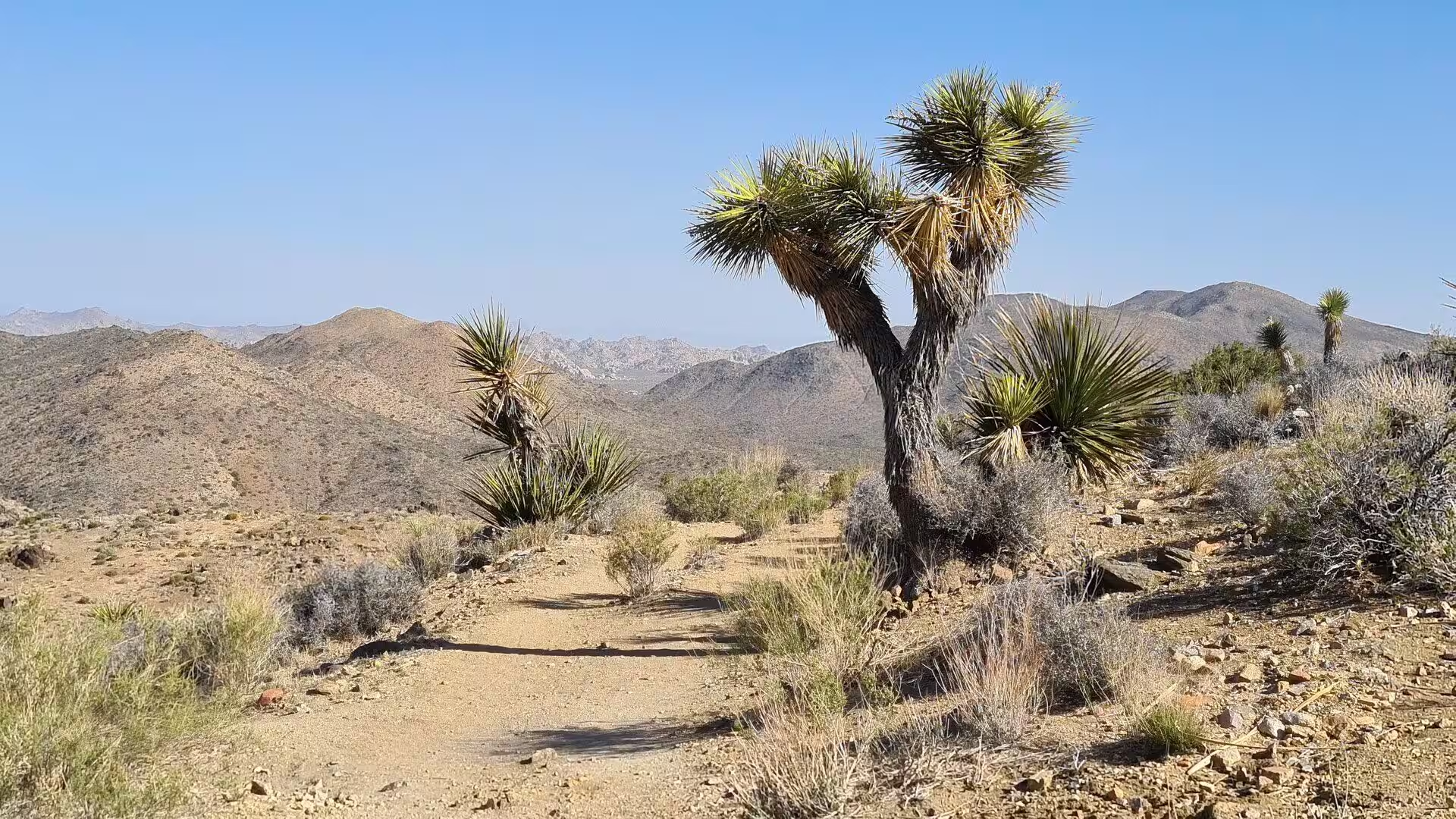
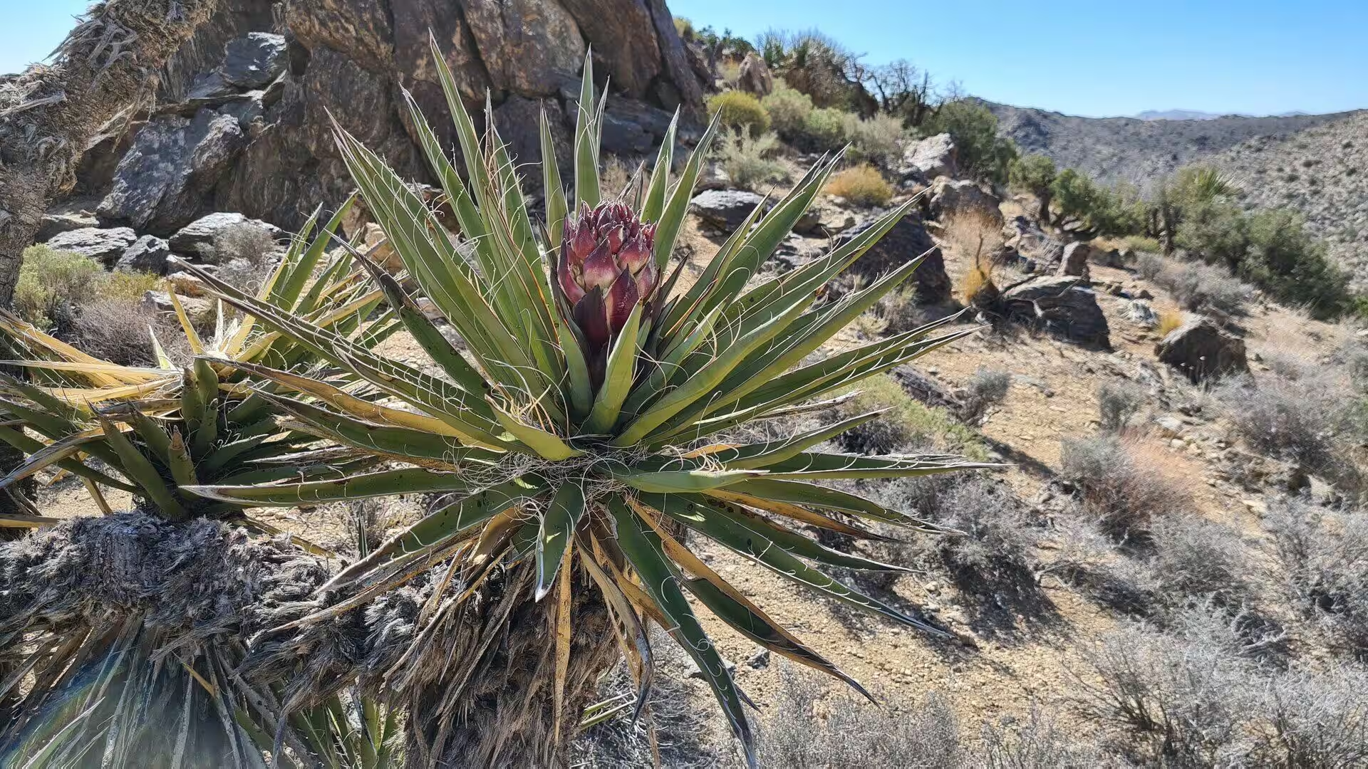
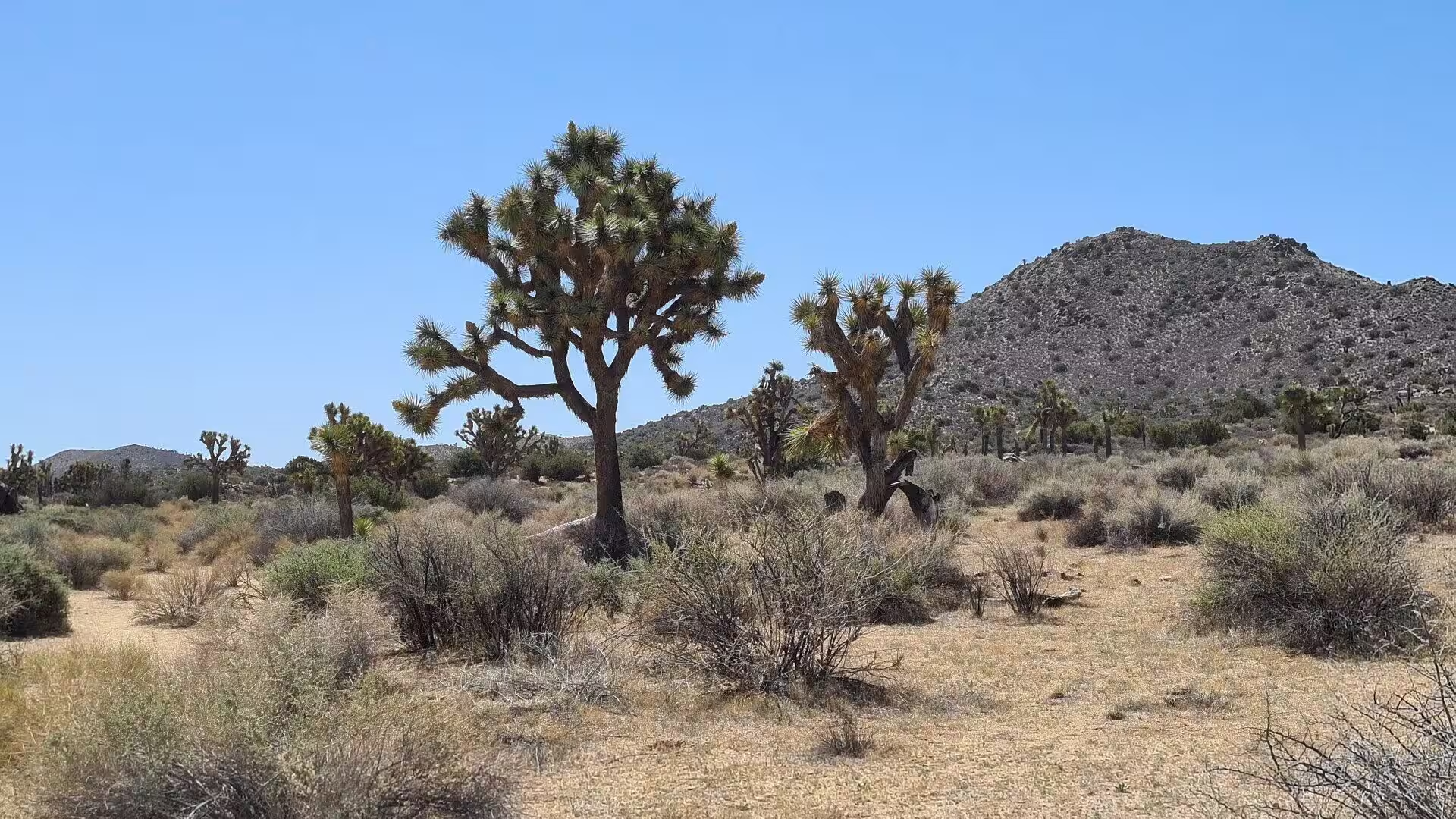
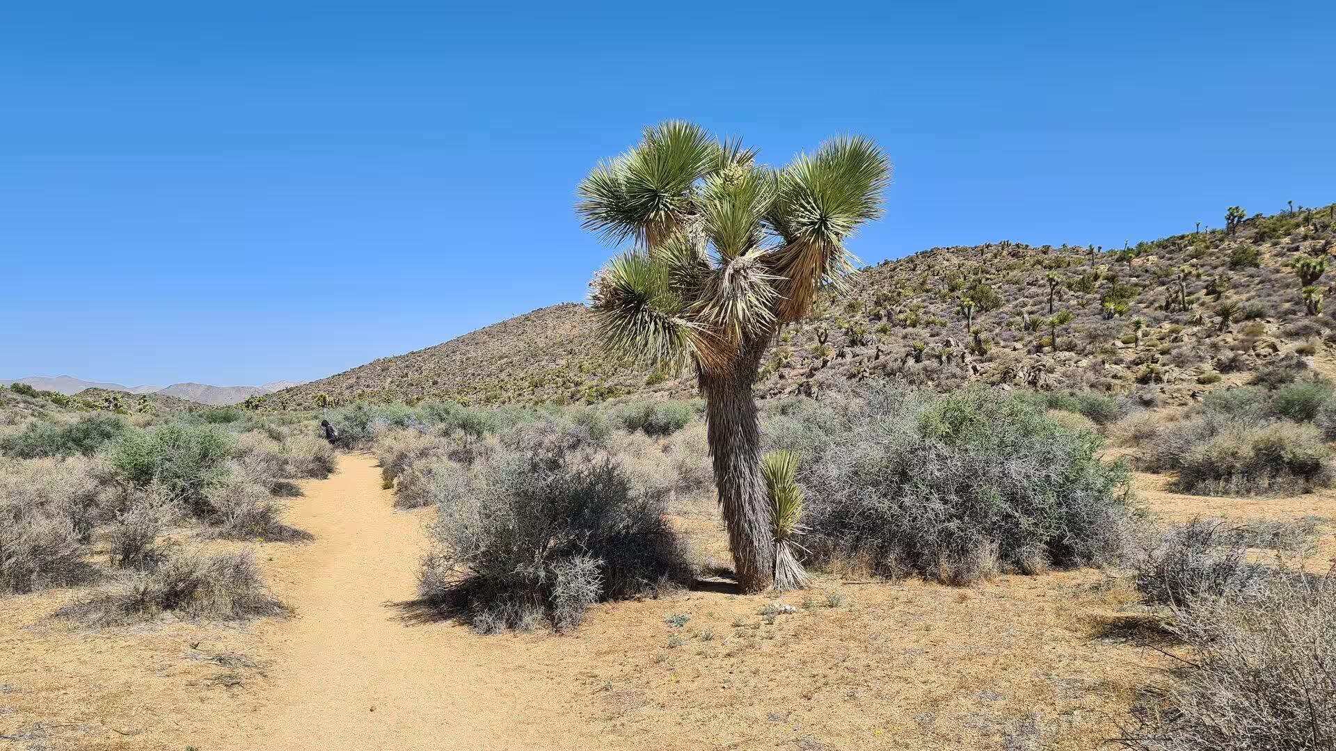
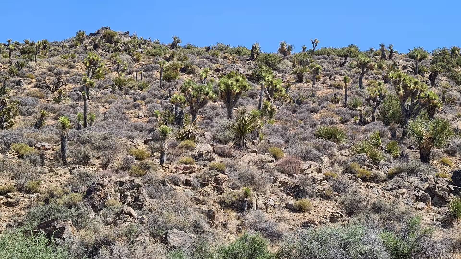
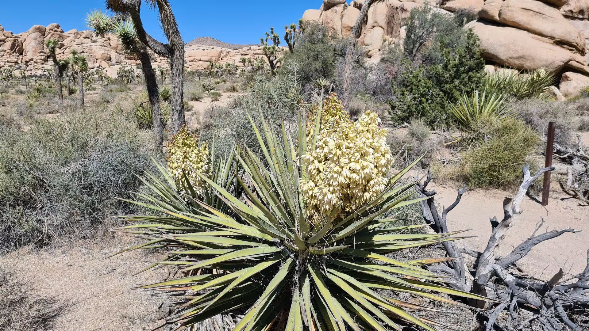
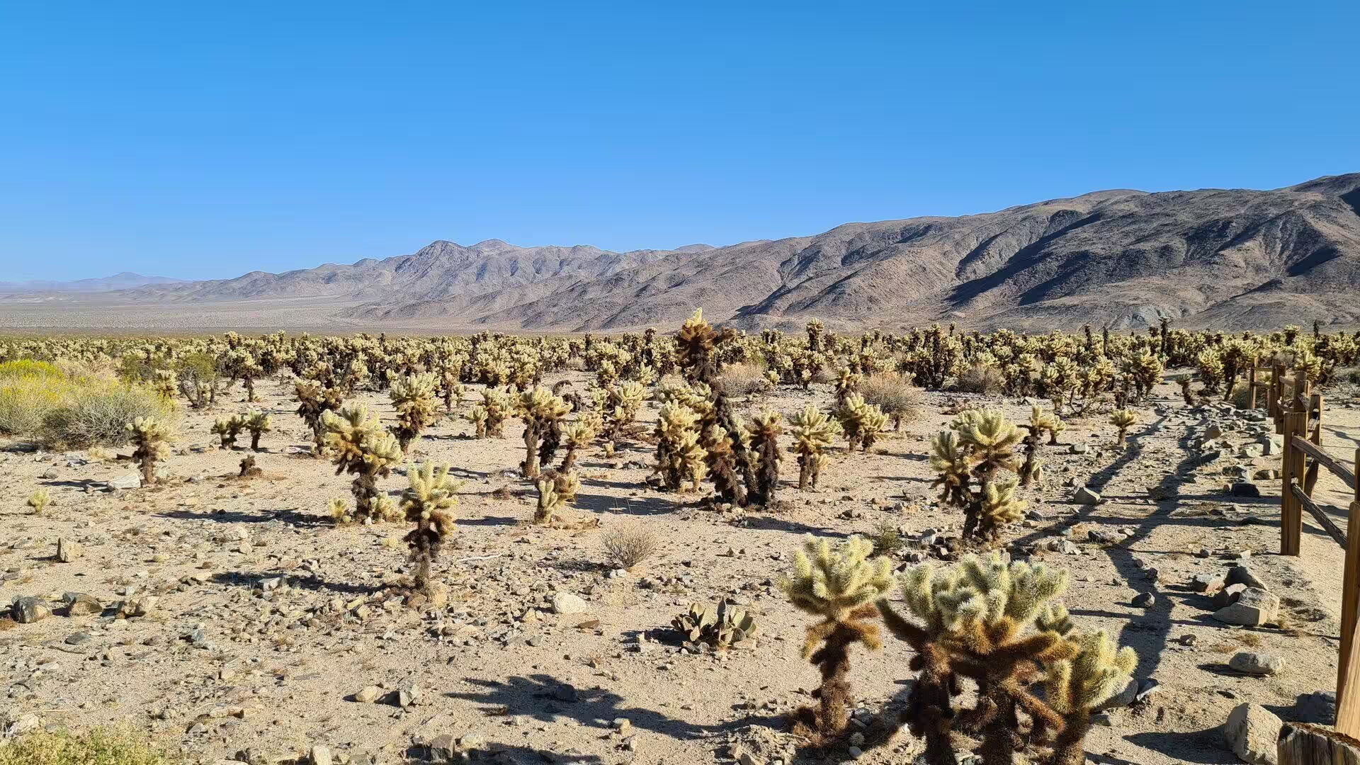
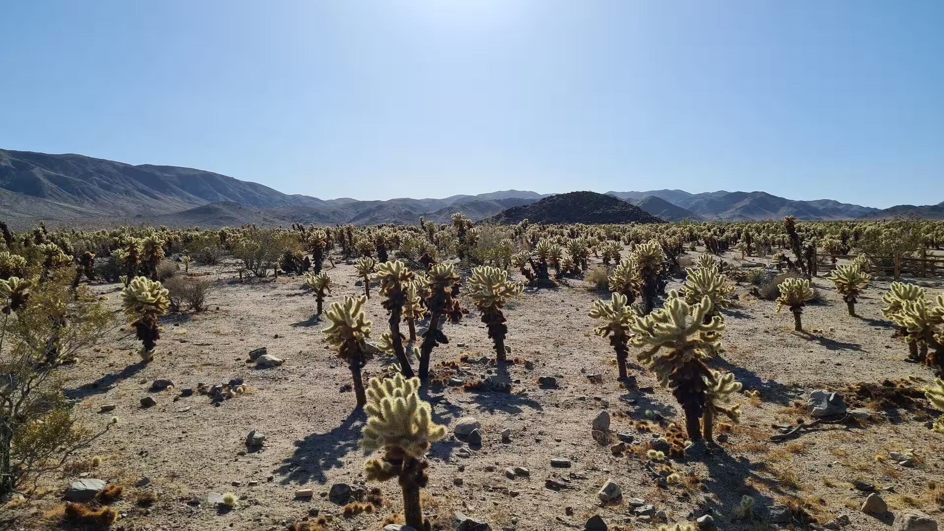
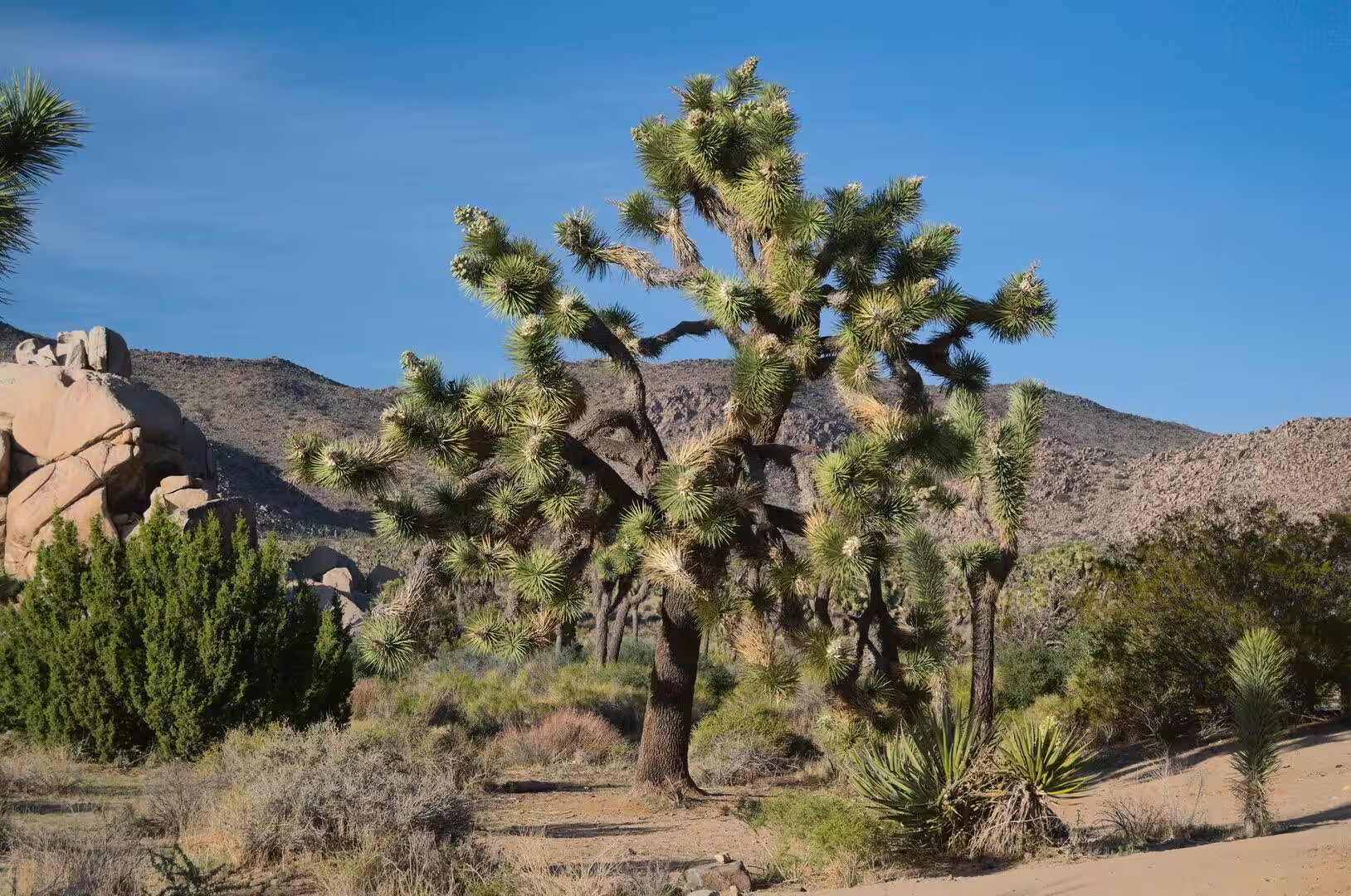
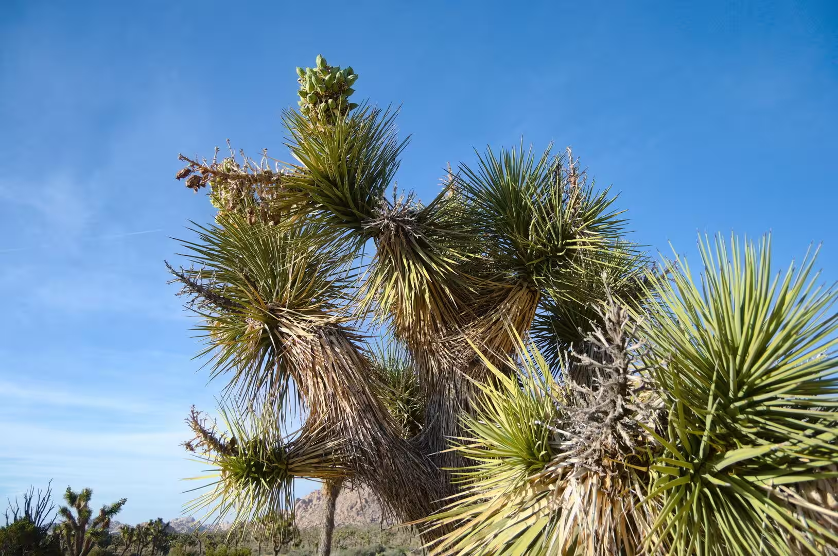
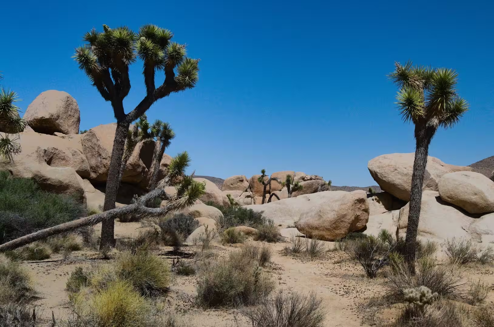
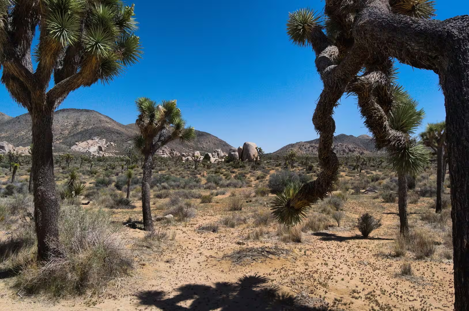
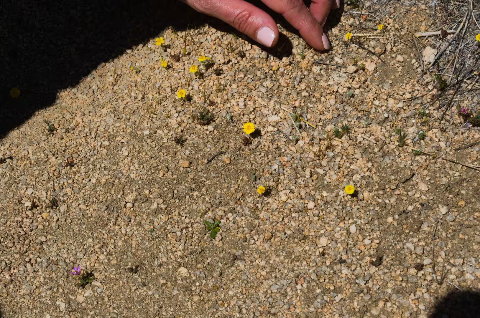
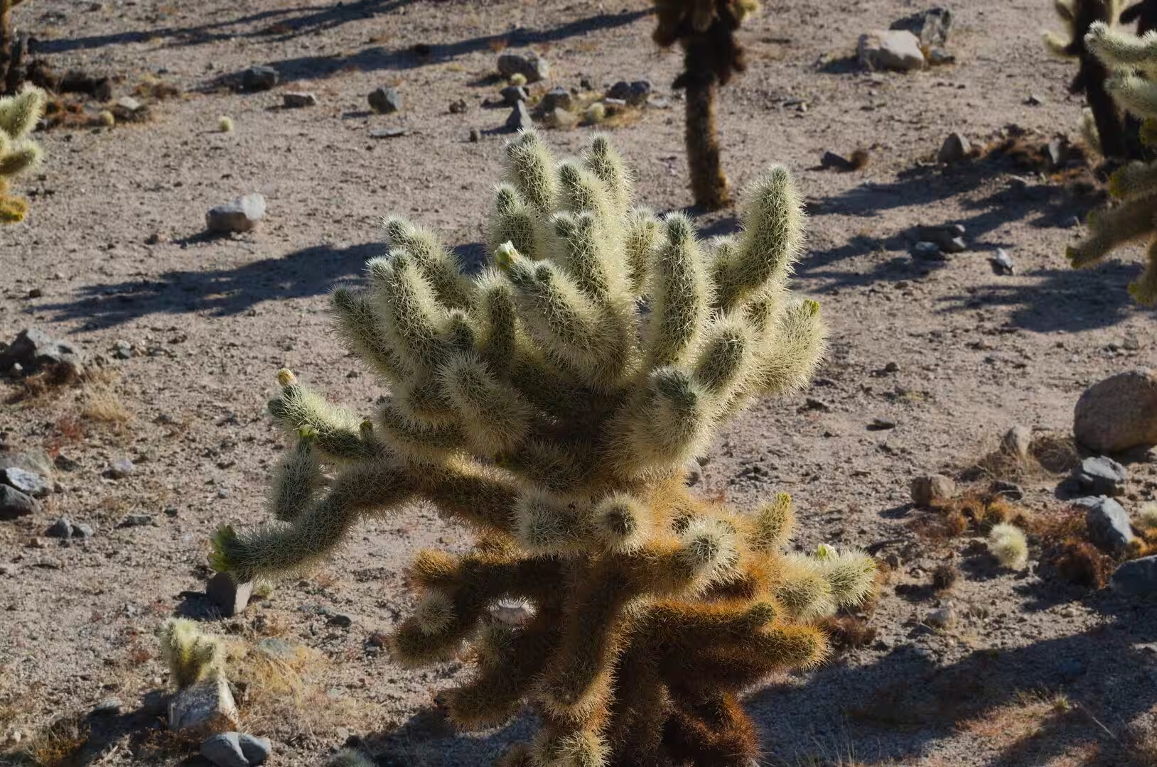
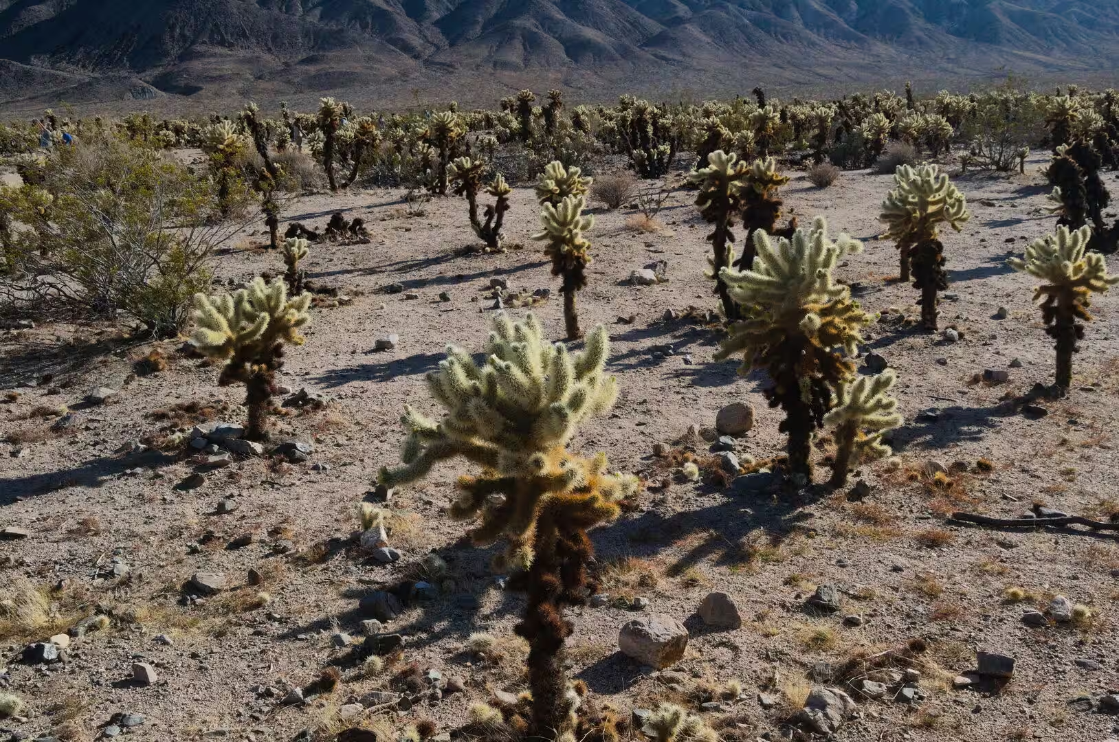
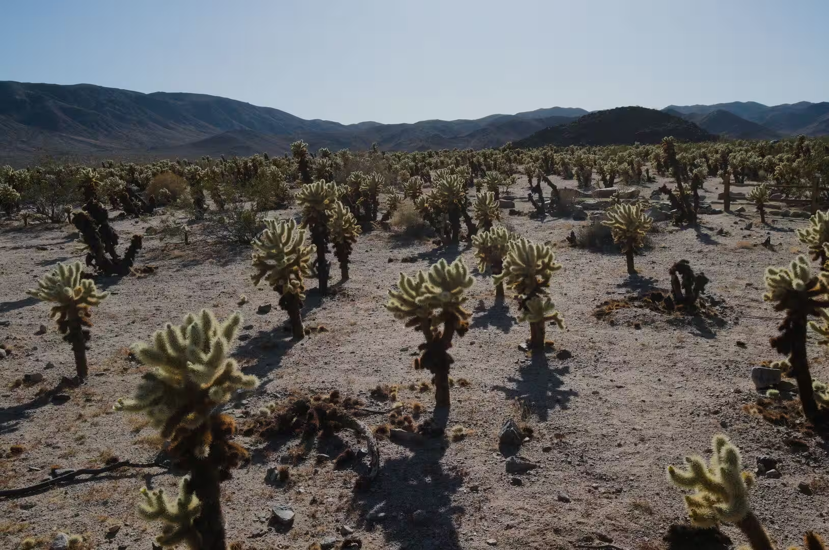
The plants and animals of the park follow the two deserts it contains. The Joshua tree itself belongs to the higher Mojave ground, where it grows in open stands, while the Colorado Desert below is the country of the creosote bush and the ocotillo, with fan palms at the permanent oases. Bighorn sheep, coyotes, jackrabbits, kangaroo rats and dozens of species of lizards and snakes live in the park, and the oases act as the meeting points for birds on migration. Vandalism at some archaeological and historic sites has led the National Park Service to close a number of places, including Native American sites, Rattlesnake Canyon and Barker Dam, to the public.
Interpretation is concentrated in a small number of places. The visitor centres at Twentynine Palms in the north and at Cottonwood in the south explain the geology and the ecology of the two deserts, and the ranger programmes of the cooler months include walks to the oases and to the historic mine. The roads inside the park are few and mostly dead ends, so a day of driving covers the main viewpoints, while a day of walking covers one of them properly. Water is available only at the entrances, and the last fuel before the southern sections of the park is in the towns outside it.
References
- Wikipedia contributors (2026). Joshua Tree National Park. en.wikipedia.org/wiki/Joshua_Tree_National_Park
- Wikipedia contributors (2026). Joshua tree. en.wikipedia.org/wiki/Joshua_tree
- Wikipedia contributors (2026). Yucca brevifolia. en.wikipedia.org/wiki/Yucca_brevifolia
- Wikipedia contributors (2026). Mojave Desert. en.wikipedia.org/wiki/Mojave_Desert
- Wikipedia contributors (2026). Colorado Desert. en.wikipedia.org/wiki/Colorado_Desert
- Wikipedia contributors (2026). California Fan Palm. en.wikipedia.org/wiki/California_Fan_Palm
- Wikipedia contributors (2026). Skull Rock. en.wikipedia.org/wiki/Skull_Rock
- Wikipedia contributors (2026). Barker Dam. en.wikipedia.org/wiki/Barker_Dam
- Wikipedia contributors (2026). Rock climbing. en.wikipedia.org/wiki/Rock_climbing
- Wikipedia contributors (2026). National Park Service. en.wikipedia.org/wiki/National_Park_Service
- Wikipedia contributors (2026). San Andreas Fault. en.wikipedia.org/wiki/San_Andreas_Fault
- Wikipedia contributors (2026). Little San Bernardino Mountains. en.wikipedia.org/wiki/Little_San_Bernardino_Mountains
- Wikipedia contributors (2026). Transverse Ranges. en.wikipedia.org/wiki/Transverse_Ranges
- Wikipedia contributors (2026). Inselberg. en.wikipedia.org/wiki/Inselberg
- Wikipedia contributors (2026). Serrano people. en.wikipedia.org/wiki/Serrano_people
- Wikipedia contributors (2026). Cahuilla. en.wikipedia.org/wiki/Cahuilla
- Wikipedia contributors (2026). Chemehuevi. en.wikipedia.org/wiki/Chemehuevi
- Keeler-Wolf T. (2007) Mojave Desert Scrub Vegetation. Terrestrial Vegetation of California, 3rd Edition. 609-656. doi.org/10.1525/california/9780520249554.003.0022
- Wilmot N.A., McIntosh C.R. (2014) Forecasting Recreational Visitation at US National Parks. Tourism Analysis. 19. 129-137. doi.org/10.3727/108354214×13963557455487